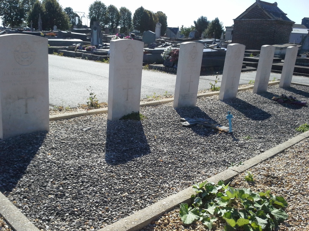
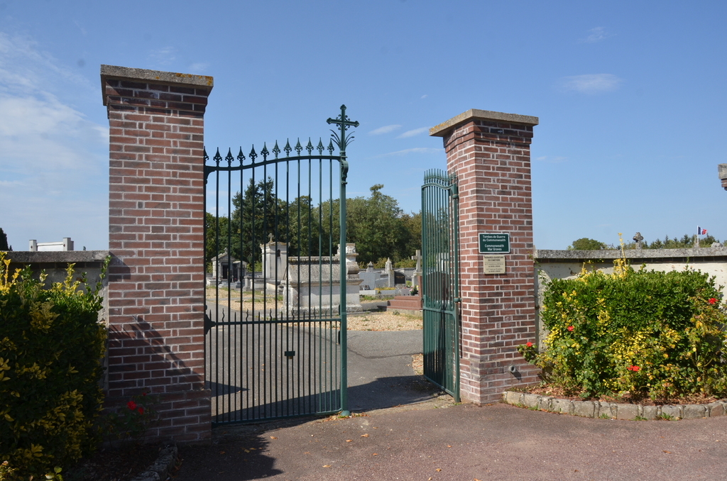
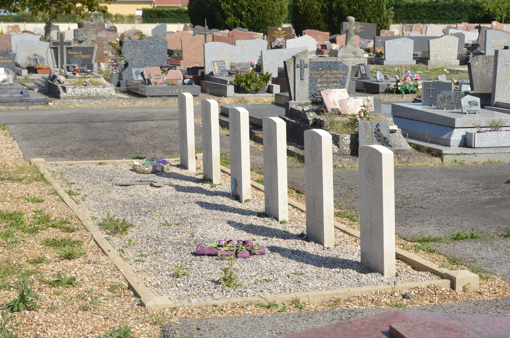
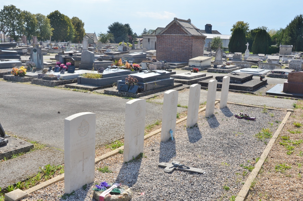
St. Andre-De-L'eure Communal Cemetery
- Country France
- Total identified casualties 6 Find these casualties
- Region Eure
- Identified casualties from Second World War
- GPS Coordinates Latitude: 48.90911, Longitude: 1.27944
Location information
St. Andre-de-L'Eure is a small town 16 kilometres south-south-east of the town of Evreux. The cemetery is on the north-eastern side of the town, on the D.122 road to Foucrainville.