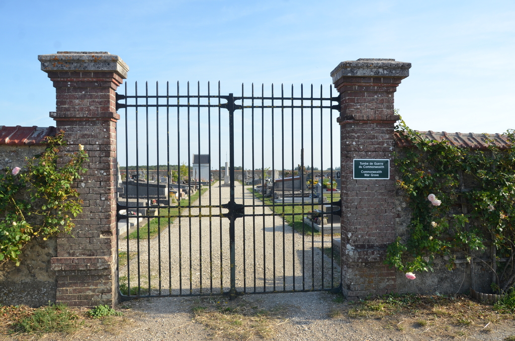
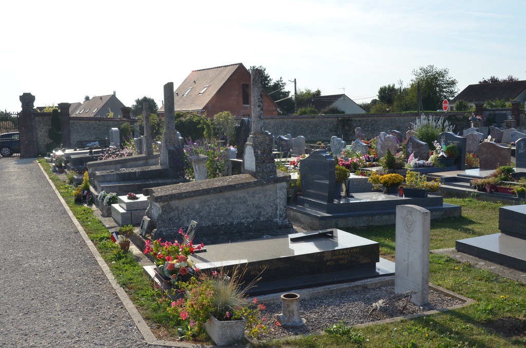
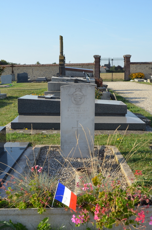
Bu Communal Cemetery
- Country France
- Total identified casualties 1 Find these casualties
- Region Eure-et-Loir
- Identified casualties from Second World War
- GPS Coordinates Latitude: 48.80163, Longitude: 1.50234
Location information
Bu is a village and commune 12 kilometres north-east of Dreux and 8 kilometres west of Houdan, two towns in the Department of the Eure-et-Loir. Bu Communal Cemetery is on the north-eastern side of the village on the D115 road to Bercheres-sur-Vesgres. The one British war grave is near the crucifix in the centre of the cemetery.