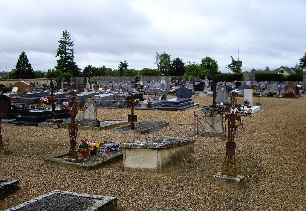
Yevres Communal Cemetery
- Country France
- Total identified casualties 2 Find these casualties
- Region Eure-et-Loir
- Identified casualties from Second World War
- GPS Coordinates Latitude: 48.21039, Longitude: 1.18825
Location information
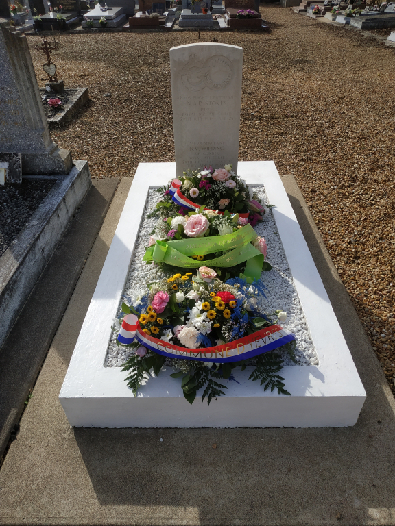
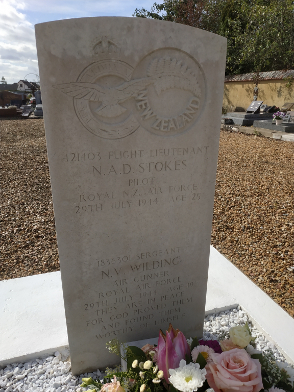
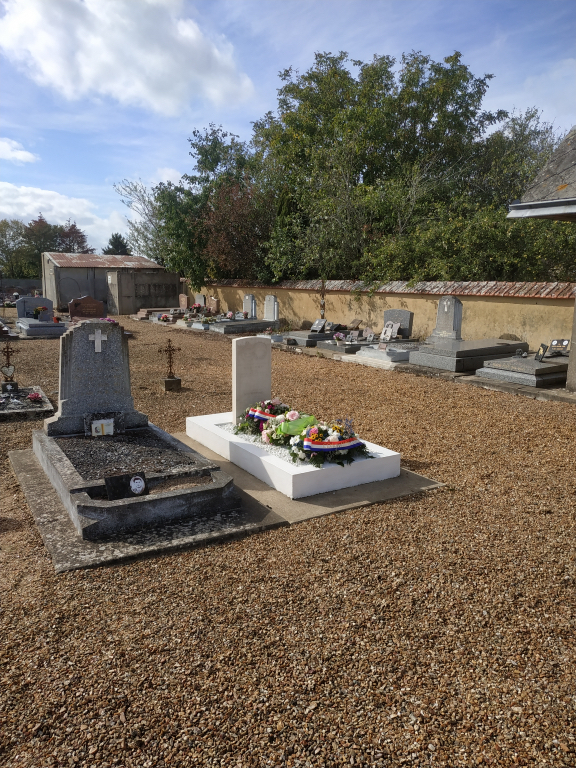
Yevres is a village and commune nearly 22 miles (35 kilometres) south-west of Chartres and 1.25 miles (2 kilometres) east of the small town of Brou. The cemetery is on the northern side of the village on the D.921 road to Illiers. Near the centre of the north wall is the joint grave of an airman of the Royal Air Force and an airman of the Royal New Zealand Air Force.