Moussey Churchyard
- Country France
- Total identified casualties 12 Find these casualties
- Region Vosges
- Identified casualties from Second World War
- GPS Coordinates Latitude: 48.42522, Longitude: 7.01698


Location information
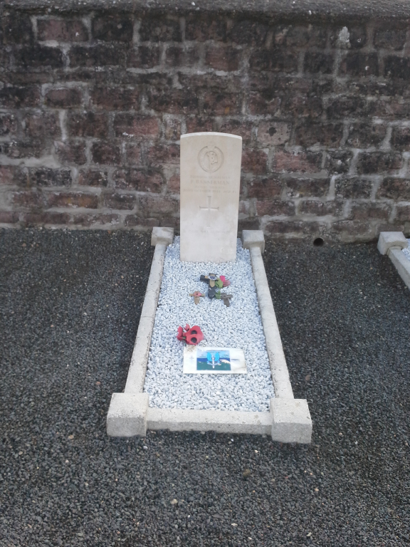
Moussey is a village in the Department of the Vosges some 51 kilometres north-east of Epinal and 16 kilometres north-north-east of the small town of St Die on the D49. The graves of ten British soldiers lie in the south-west portion of the churchyard close to the wall.
History information
There are now 10, 1939-45 war casualties commemorated in this site.