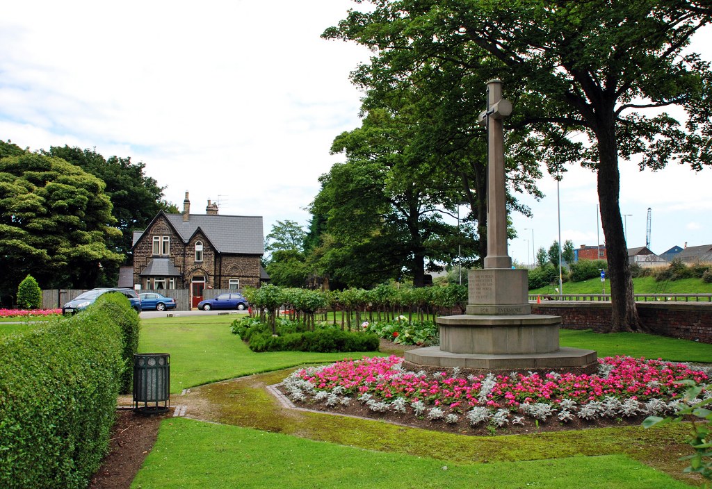
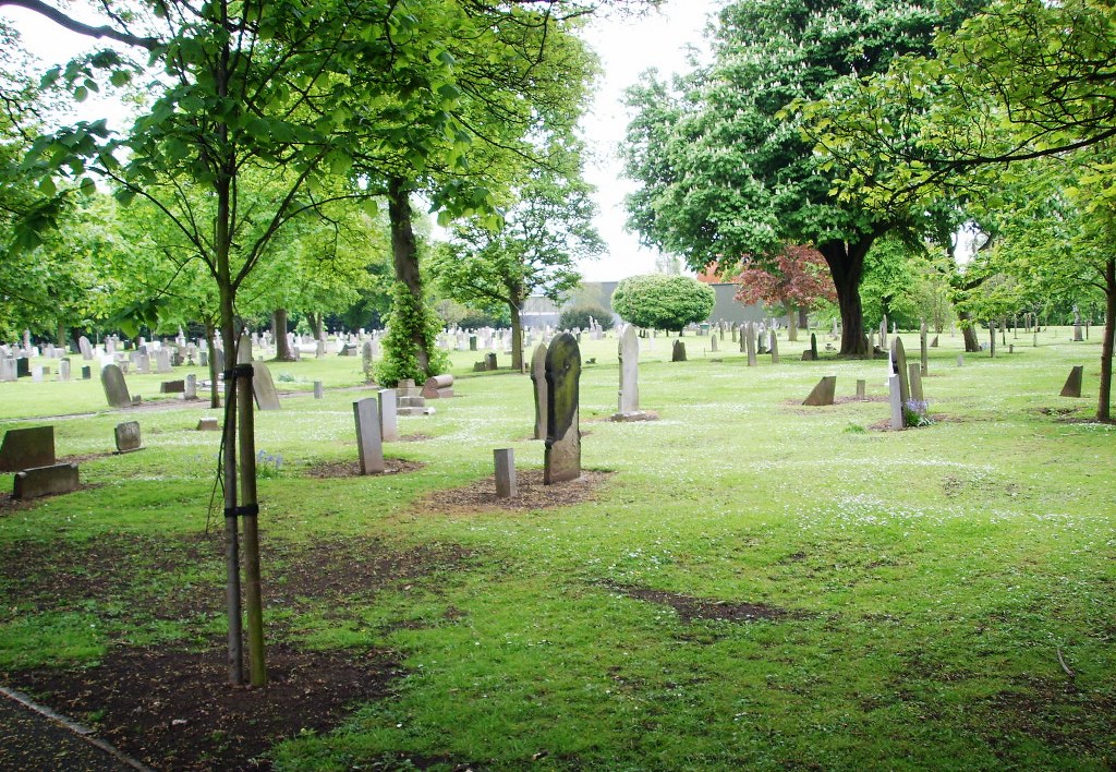
Hull (Hedon Road) Cemetery
- Country United Kingdom
- Total identified casualties 250 Find these casualties
- Region Yorkshire
- Identified casualties from First & Second World War
- GPS Coordinates Latitude: 53.74791, Longitude: -0.29382
History information
Hull (Hedon Road) Cemetery was laid out in 1873-74 and extended later. It covers an area of nearly 23 acres. The cemetery was severely damaged by enemy aircraft during the 1939-1945 War.