Mortlake Cemetery
- Country United Kingdom
- Total identified casualties 109 Find these casualties
- Region Surrey
- Identified casualties from Second World War
- GPS Coordinates Latitude: 51.47074, Longitude: -0.27399


Location information
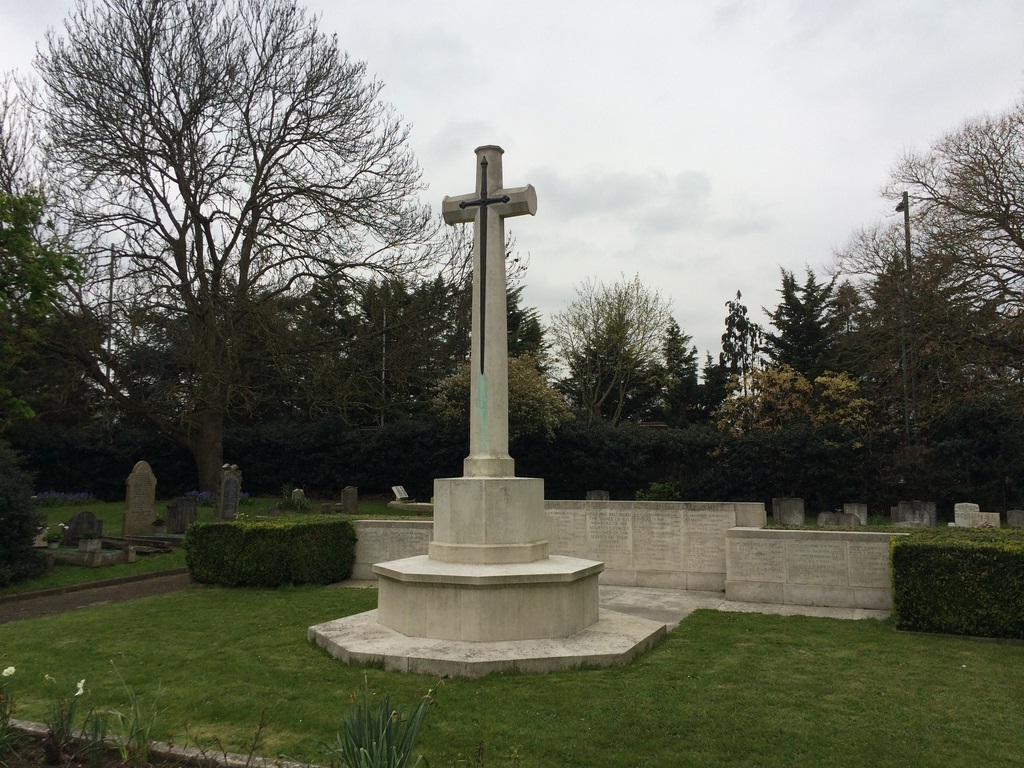
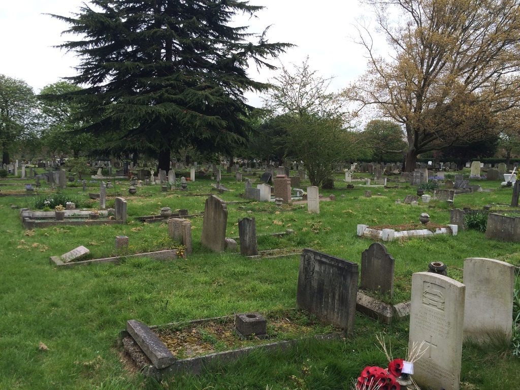
This is in Clifford Avenue, in the angle of Mortlake Road and Chertsey Arterial Road. It is owned by the Borough of Hammersmith, and it adjoins Mortlake Crematorium which is the joint property of the Boroughs of Hammersmith, Fulham, Richmond and Barnes. The cemetery contains 109 Service war burials; some in a special service plot in the south-eastern part, and some in privately owned graves in various other parts of the cemetery. Those in the service plot are mainly in collective graves, i.e. graves shared by four or five casualties, necessitated by the limited space available. They are individually commemorated on a memorial which takes the form of a screen wall, on which are also commemorated 77 service casualties who were cremated in the adjacent crematorium.