Glasgow (Cardonald) Cemetery
- Country United Kingdom
- Total identified casualties 198 Find these casualties
- Region Glasgow
- Identified casualties from Second World War
- GPS Coordinates Latitude: 55.84482, Longitude: -4.33217
Location information
This is a large cemetery south of Glasgow City Centre By Road: From the M8 motorway take junction 25 onto A738 Berrknowles Road travelling South. At the T junction turn left onto Paisley Road West , take the second right onto Mosspark Boulevard .The main cemetery entrance is on the corner of Mosspark Boulevard and Corkerhill Road. By Public transport: Trains from Glasgow Central Station to Paisley Canal stop at Corkerhill Station. The Cemetery is a ten minute walk from the Station. Alternately bus number 45 from Union Street Central Station to Auchincairn stop on Corkerhill Road.
Visiting information
Parking is possible on the internal cemetery roads.
History information
Glasgow was one of the ports of embarkation for the British Expeditionary Force in 1914 and several military hospitals opened in the city during the First World War, including the 3rd and 4th Scottish General (1,200 beds each), and the Merryflats War Hospital (500 beds). Battalions of a number of Scottish regiments had their headquarters at Glasgow during both wars, most notably the Highland Light Infantry. The Clydeside shipyards were targeted by German bombers during the Blitz, and Glasgow suffered a particularly ferocious attack on the night of 13/14 March 1941 when many civilians and servicemen were killed.
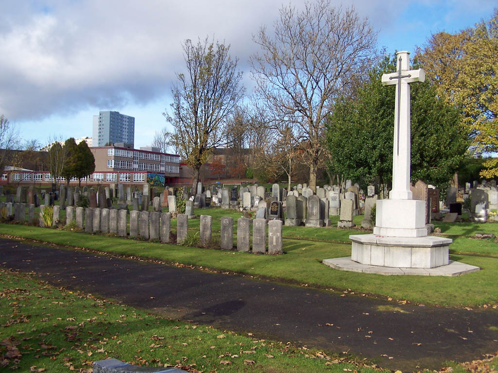
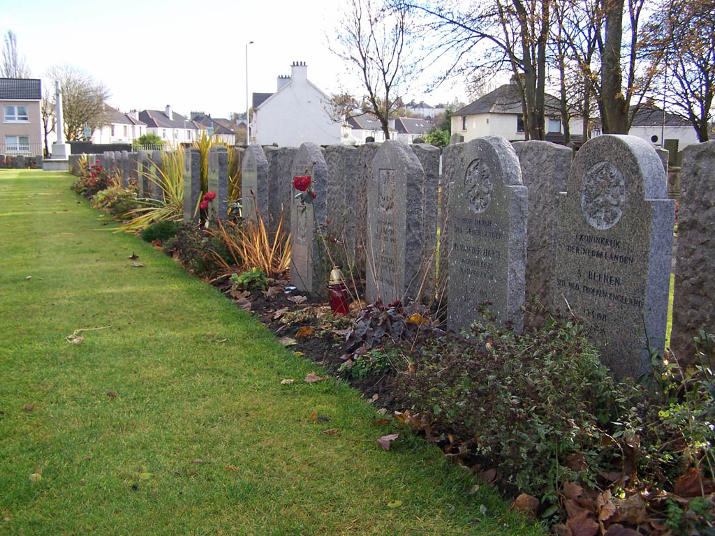
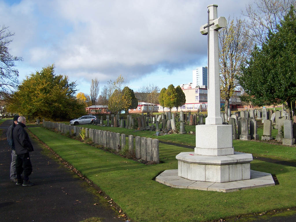
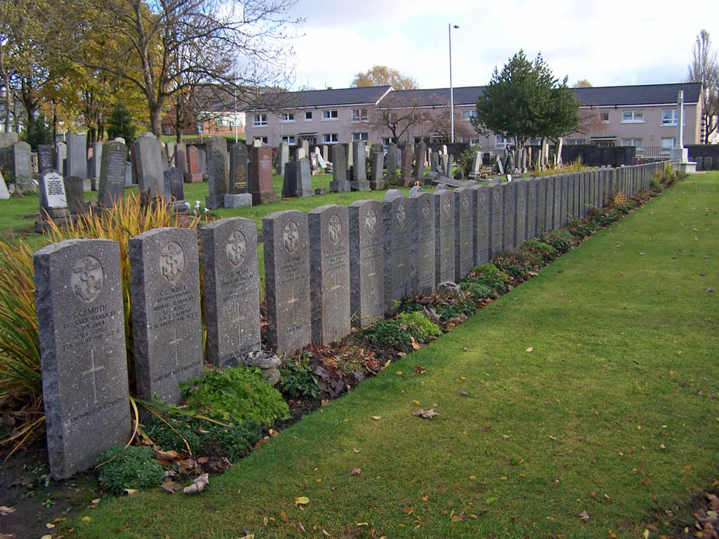
Glasgow (Cardonald) Cemetery contains 161 Commonwealth burials of the Second World War, including 2 unidentified seamen, a number of them forming a war graves plot in Section E. This plot also contains one non-war service burial and 38 war graves of other nationalities, many of them from the prisoner-of-war camp at Johnstone Castle, just outside Glasgow.