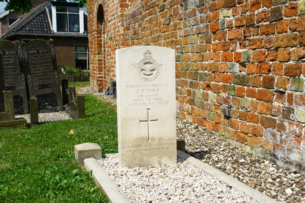
Rauwerderhem (Deersum) Protestant Churchyard
- Country Netherlands
- Total identified casualties 1 Find these casualties
- Region Friesland
- Identified casualties from Second World War
- GPS Coordinates Latitude: 53.08671, Longitude: 5.71577

Location information
Rauwerderhem is a commune, with headquarters in the village of Rauwerd, which controls nine villages. Deersum is one of these lying just south of Rauwerd and 16 kilometres south-south-west of Leeuwarden. The churchyard is around the church in the centre of the village.
History information
There is one, 1939-1945 War casualty commemorated in this site.