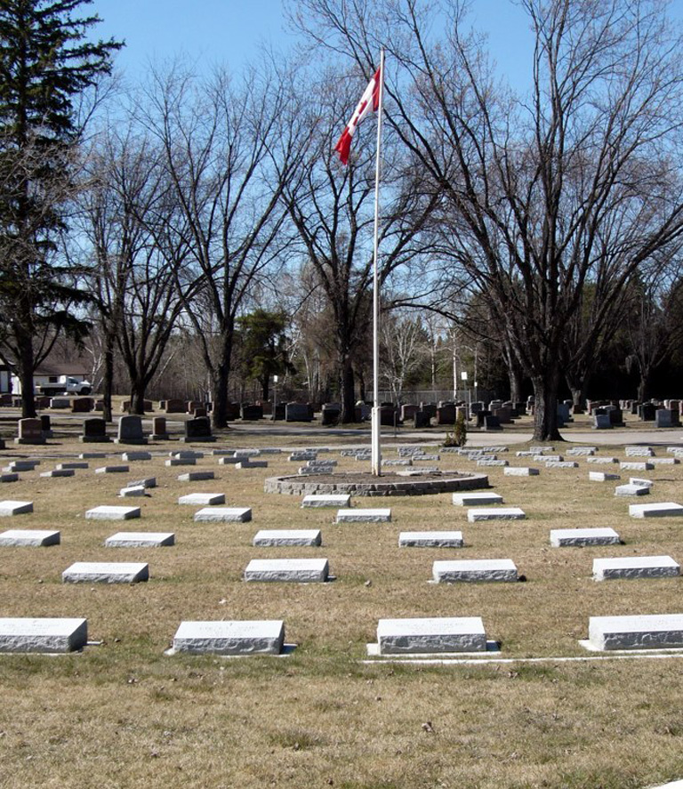
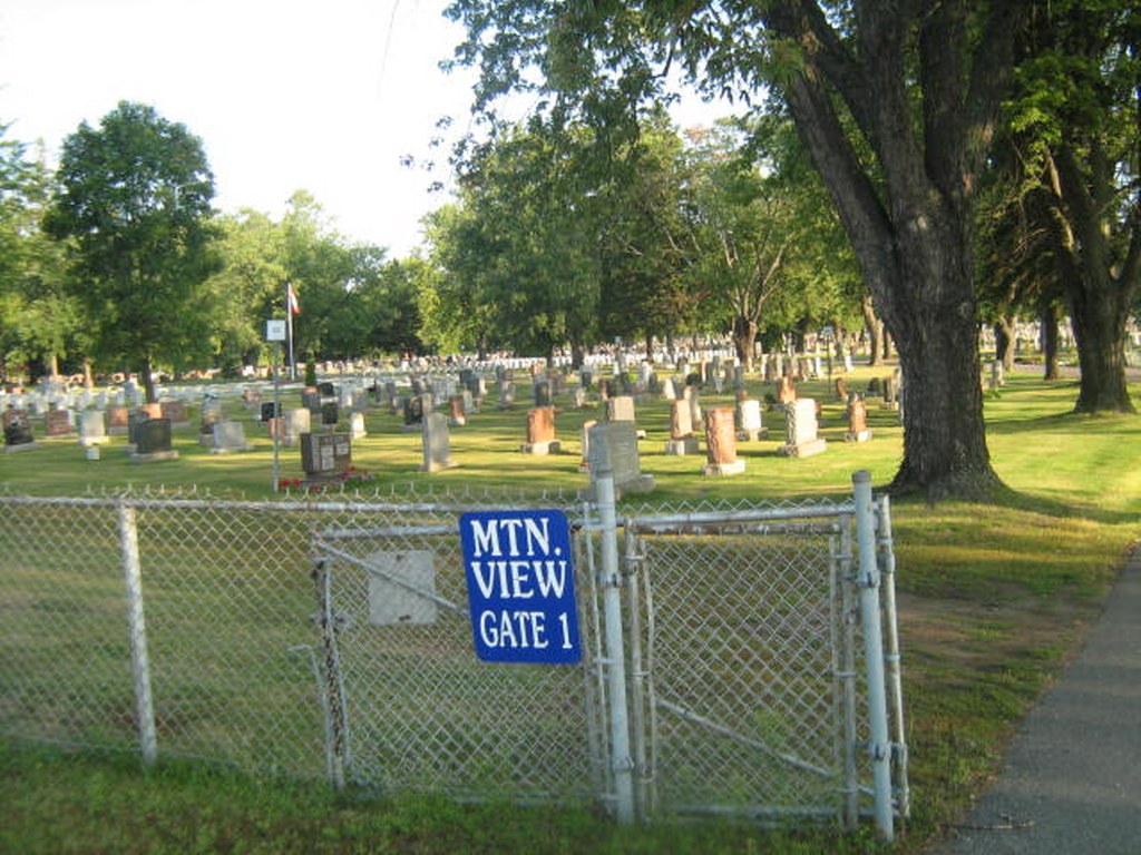
Thunder Bay (Mountain View) Cemetery
- Country Canada
- Total identified casualties 38 Find these casualties
- Region Ontario
- Identified casualties from First & Second World War
- GPS Coordinates Latitude: 48.35333, Longitude: -89.31779
Location information
Fort William, lying at the head of Lake Superior, was a grain port, a railway centre and a manufacturing town. During the 1939-1945 War it held an army basic training centre. This cemetery is 8 kilometres west of the city hall, on Broadway Avenue. Access by car highway 61 South and exit at Broadway Avenue.
Visiting information
The cemetery grounds are open daily for visitation from sunrise to sunset. The on site cemetery office is open Monday to Friday from 8:00 a.m. to 4:30 p.m.
History information
This cemetery contains war graves of both world wars. The 1914-1918 burials number 18 and the 1939-1945 War burials total 20.