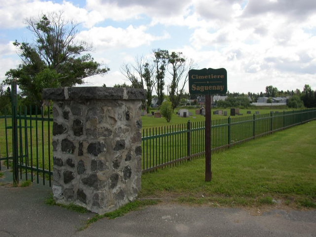
Arvida Protestant Cemetery
- Country Canada
- Total identified casualties 9 Find these casualties
- Region Quebec
- Identified casualties from Second World War
- GPS Coordinates Latitude: 48.40788, Longitude: -71.1898
Location information
Arvida where the plant and power units of the Aluminum Company of Canada played a large part in Canada's war production lies on the south bank of the Saquenay river 209 kilometres north of Quebec City. The cemetery which is privately owned, is situated on Highway 170, the main highway to Jonquiere on the southern boundary of Arvida, 500 metres west of the Davis Street crossroad. It contains the graves of nine airmen belonging to the Royal Air Force.