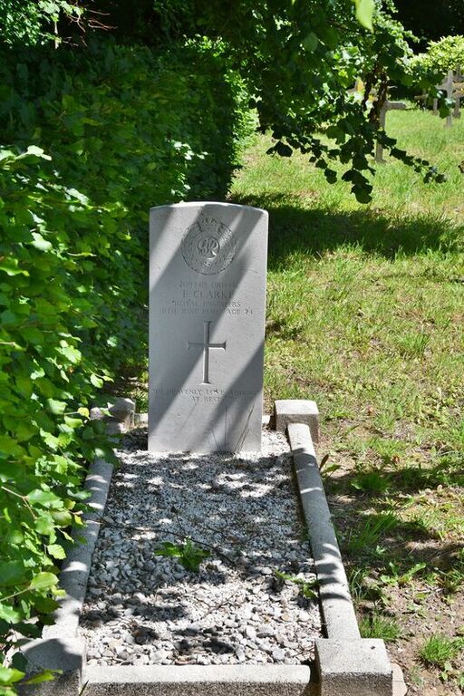
Bourville Tonneville Churchyard
- Country France
- Total identified casualties 1 Find these casualties
- Region Seine-Maritime
- Identified casualties from Second World War
- GPS Coordinates Latitude: 49.7908, Longitude: 0.83811
Location information
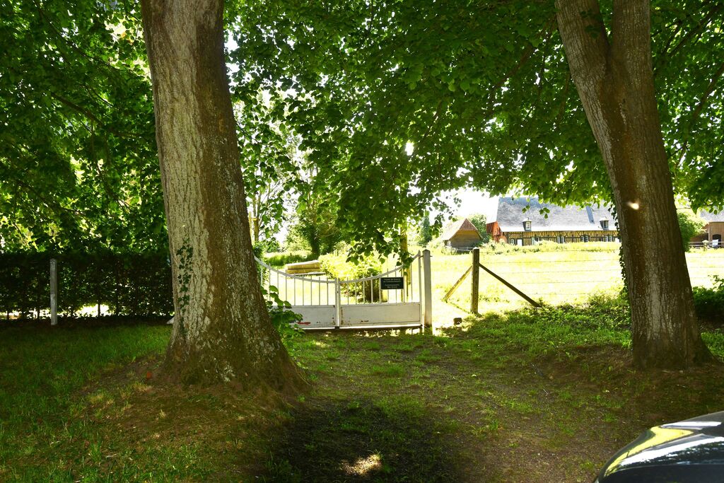
Bourville is a village and commune 30 kilometres south-west of Dieppe, 12 kilometres south-east of St. Valery-en-Caux, and 5 kilometres south-west of Fontaine-le-Dun. Tonneville is a hamlet about 1 mile east of Bourville, on the Rue du Chateau. The British grave is near the northern boundary of the churchyard just east of the entrance.