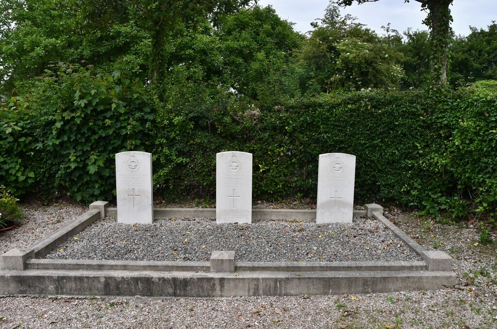
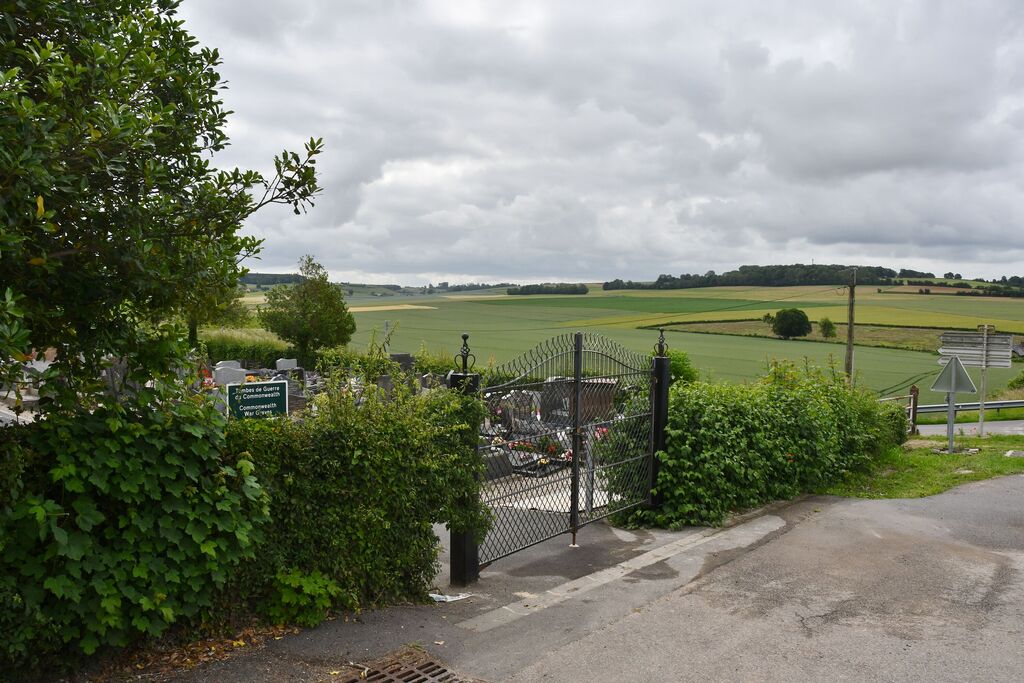
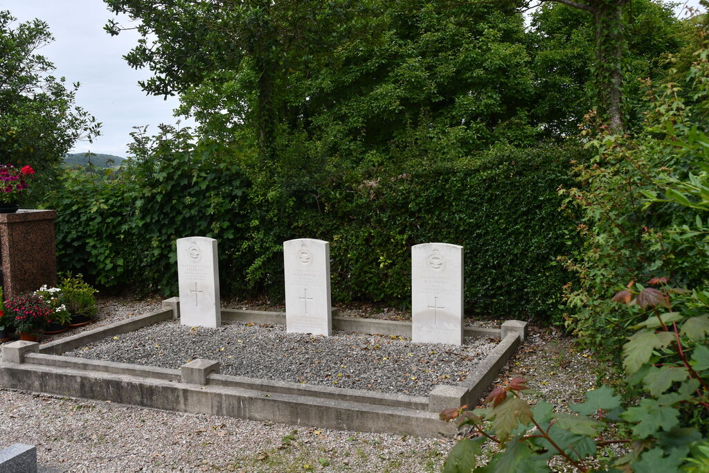
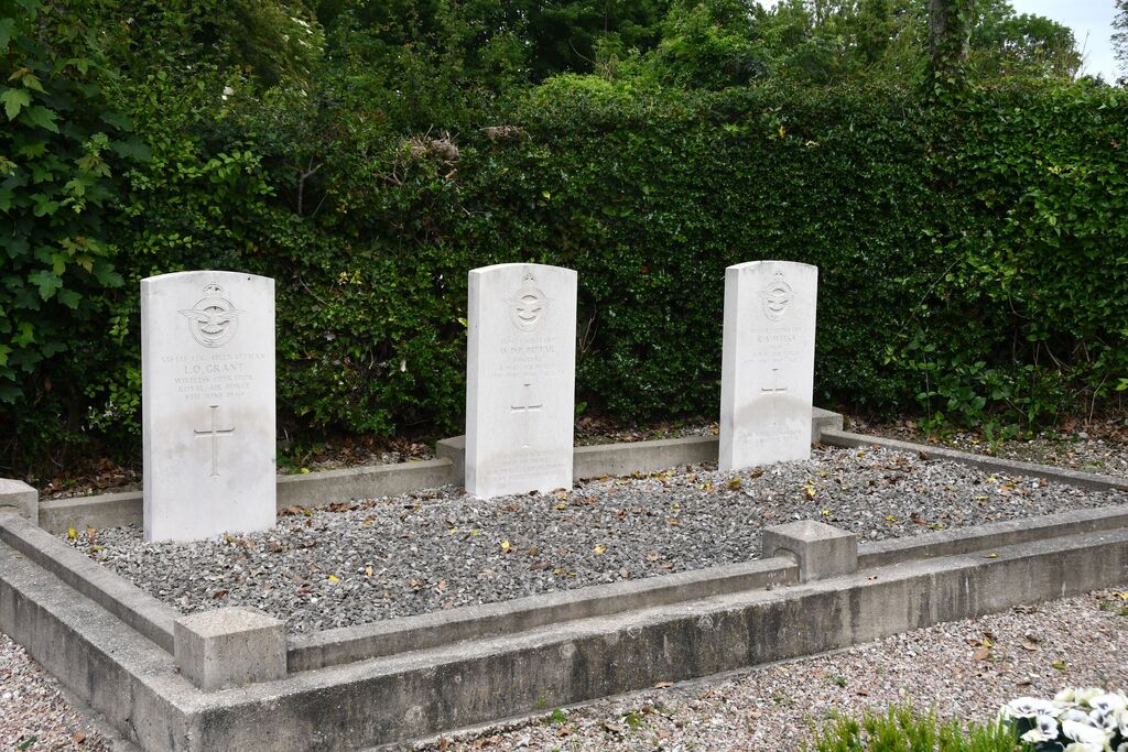
Fallencourt Communal Cemetery
- Country France
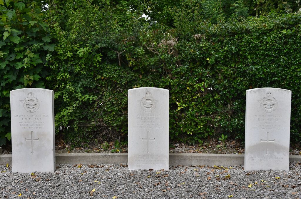
- Total identified casualties 3 Find these casualties
- Region Seine-Maritime
- Identified casualties from Second World War
- GPS Coordinates Latitude: 49.86846, Longitude: 1.57138
Location information
Fallencourt is a village and commune 22.50 miles (36 kilometres) east-south-east of Dieppe on the Rouen-Abbeville road (N.28), and 5.50 miles (9 kilometres) south-east of Blangy-sur-Bresle, where the N.28 road crosses the N.15 bis (Le Treport-Paris) road. There is a railway station at Blangy-sur-Bresle (Le Treport-Paris line); and a bus service to and from Neufchatelen-Bray passes through Foucarmont, which is 1.25 miles (2 kilometres) south of Fallencourt. The cemetery is north of the village at the junction of the D.16E road from Realcamp with the N.28 road. The British graves are in the north-west corner of the cemetery.