Mesnil-Mauger Communal Cemetery
- Country France
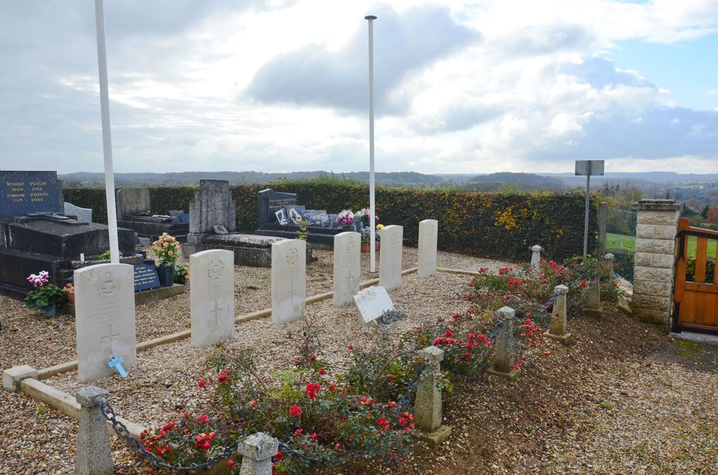
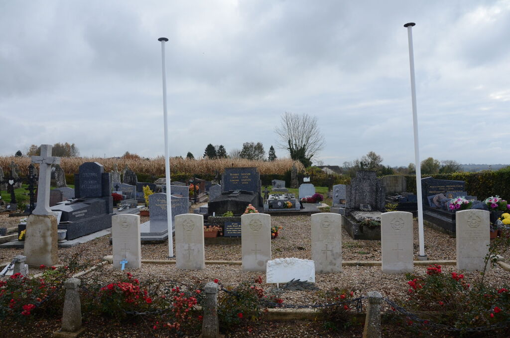
- Total identified casualties 6 Find these casualties
- Region Seine-Maritime
- Identified casualties from Second World War
- GPS Coordinates Latitude: 49.67348, Longitude: 1.51369
Location information
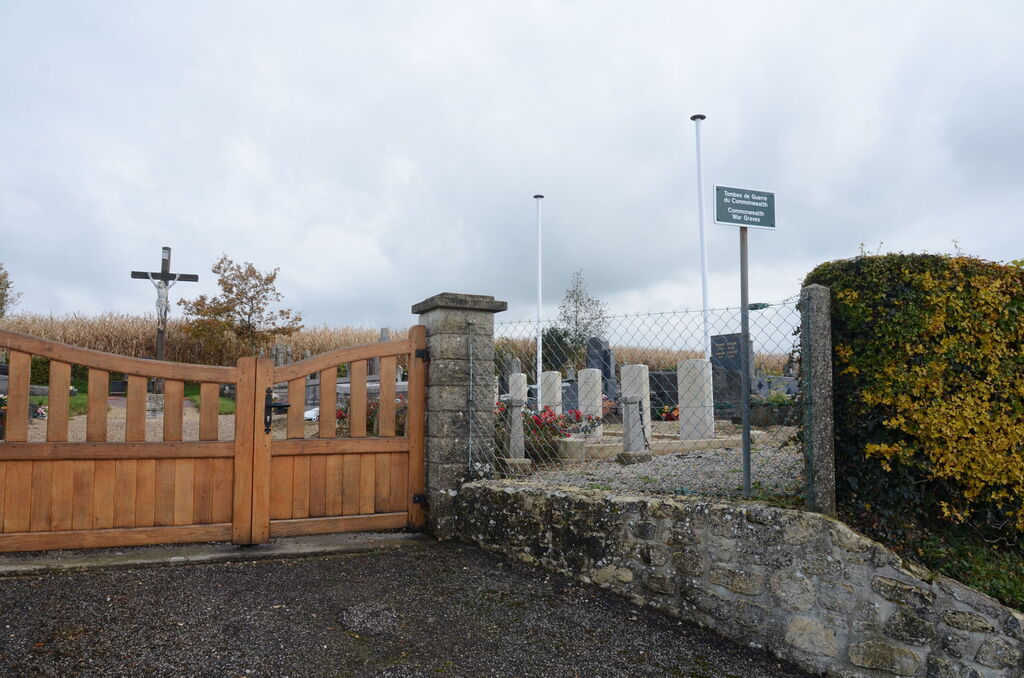
Mesnil-Mauger is a village and commune 25 miles (40 kilometres) north-east of Rouen, 4 miles (6 kilometres) north-north-west of Forges-les-Eaux, a town on the N.15 (Dieppe to Paris) road; and 1 kilometre (about .50 mile) east of the N.314 road from Forges-les-Eaux to Neufchatel-en-Bray. The nearest railway station is at Serquex (Amiens-Rouen line) which is 2.50 miles (4 kilometres) south of Mesnil-Mauger. There is a bus service between Forges-les-Eaux and Neufchatel-en-Bray. The communal cemetery is some 500 yards north of the church, up a narrow lane. Near the entrance gate are the graves of 6 airmen, of whom 2 belonged to the Royal Air Force and 4 to the Royal Canadian Air Force.