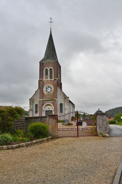
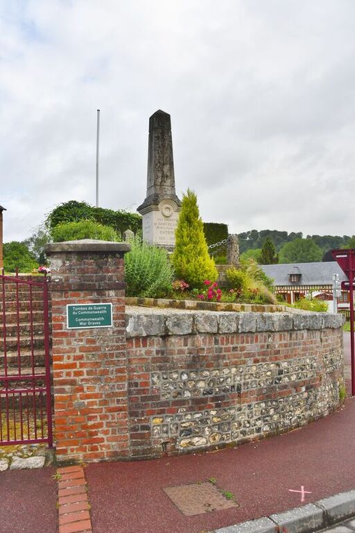
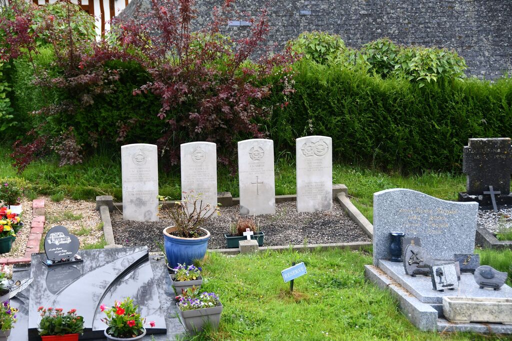
St. Hellier Churchyard
- Country France
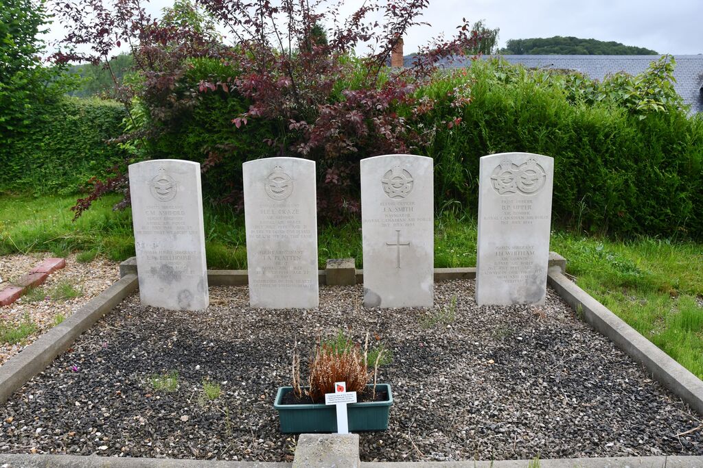
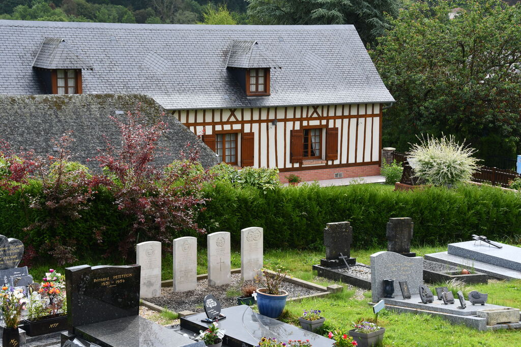
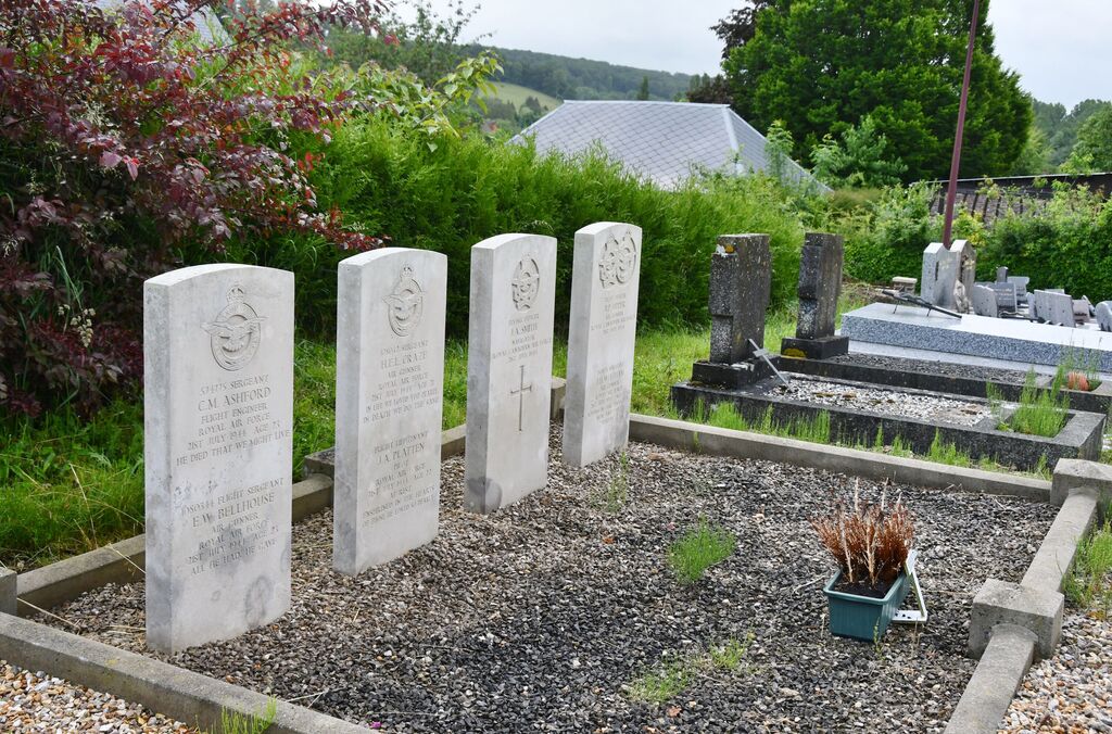
- Total identified casualties 7 Find these casualties
- Region Seine-Maritime
- Identified casualties from Second World War
- GPS Coordinates Latitude: 49.73179, Longitude: 1.19029
Location information
St Hellier is a village 22 kilometres south-south-east of Dieppe, and approximately 370 metres west of the road from Dieppe to St Saens, which is a small town 10 kilometres south-south-east of St Hellier on the Amiens to Le Havre road. Near the south-east corner of the Churchyard is the collective grave of 7 airmen.