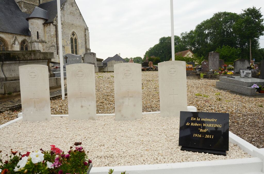
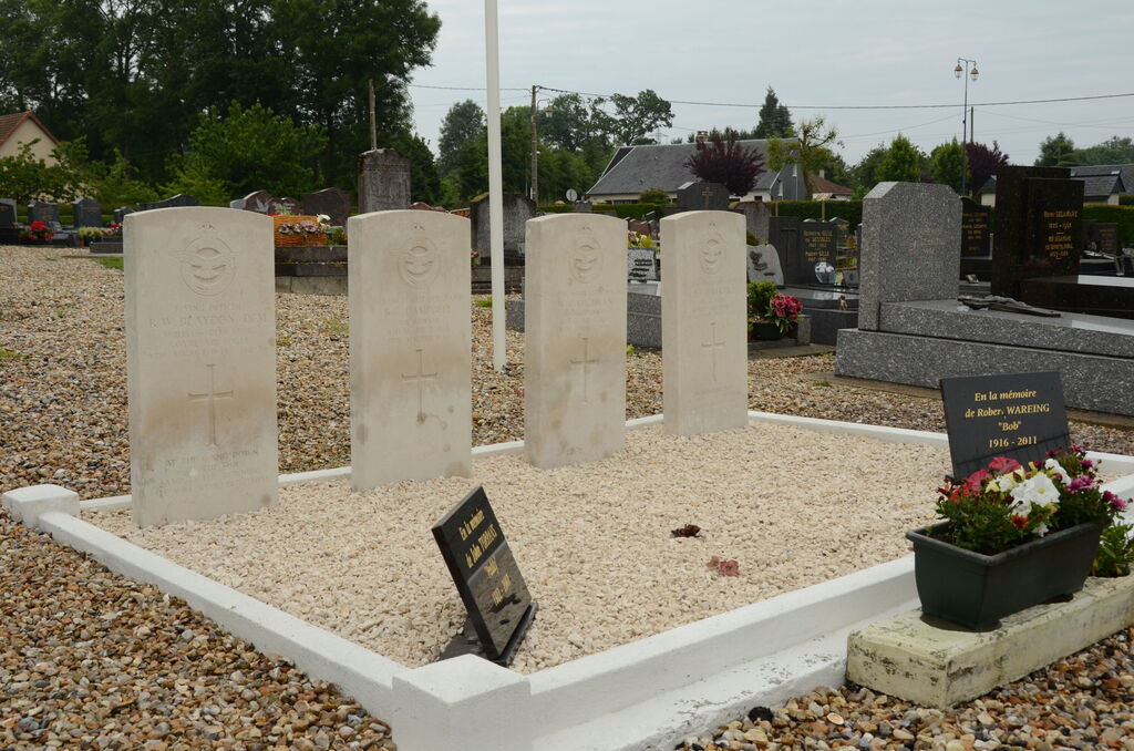
St. Vigor-D'ymonville Churchyard
- Country France
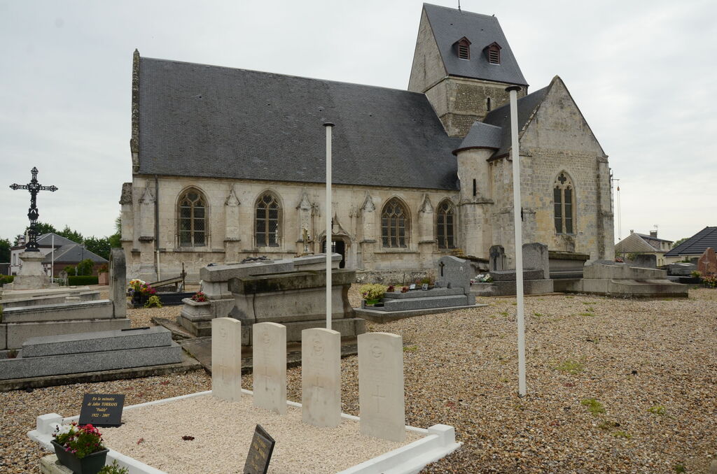
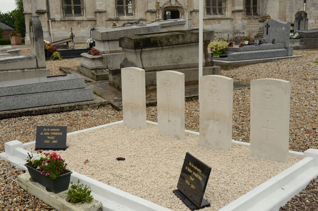
- Total identified casualties 4 Find these casualties
- Region Seine-Maritime
- Identified casualties from Second World War
- GPS Coordinates Latitude: 49.49471, Longitude: 0.36025
Location information
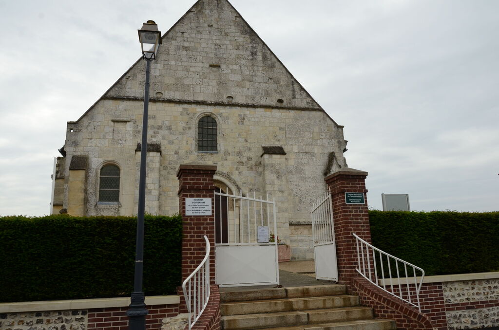
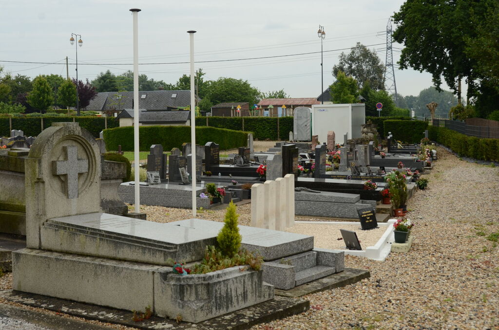
St. Vigor-D'Ymonville is a village and commune near the north bank of the River Seine, 12 miles (19 kilometres) east of Le Havre, and 1.25 miles (2 kilometres) north-east of the Bac-du-Hode, where there is a ferry. The Bac-du-Hode is on the Le Havre to Caen bus route. In the churchyard, 25 yards west of the west door of the church, is the collective grave of 4 airmen of the Royal Air Force.