Courboin Communal Cemetery
- Country France
- Total identified casualties 8 Find these casualties
- Region Aisne
- Identified casualties from Second World War
- GPS Coordinates Latitude: 48.99408, Longitude: 3.50704

Location information
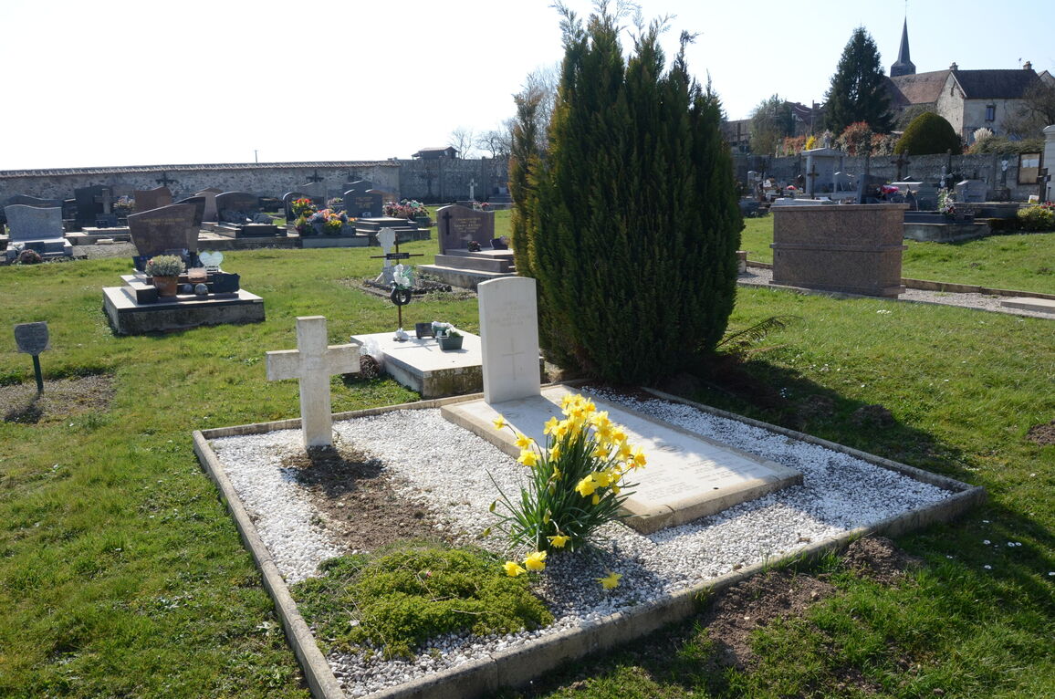
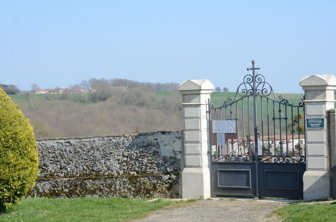
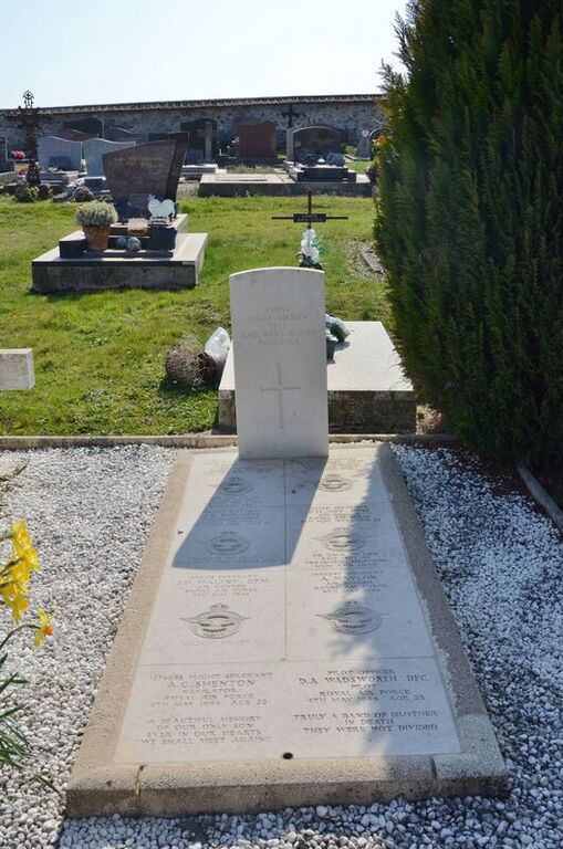
Courboin is a village and commune 6.25 miles (10 kilometres) south-east of Chateau-Thierry, a town on the main railway line from Paris to Nancy and Strasbourg and the most convenient station for Courboin. The village is best reached by taxi from the station. The communal cemetery is about 200 yards north-east of the village church, in a by-road. In the north-eastern part is the collective grave of eight airmen who belonged to the Royal Air Force.