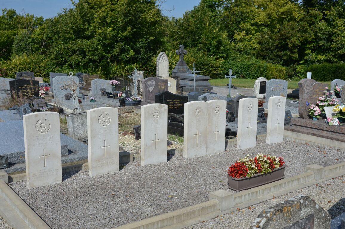
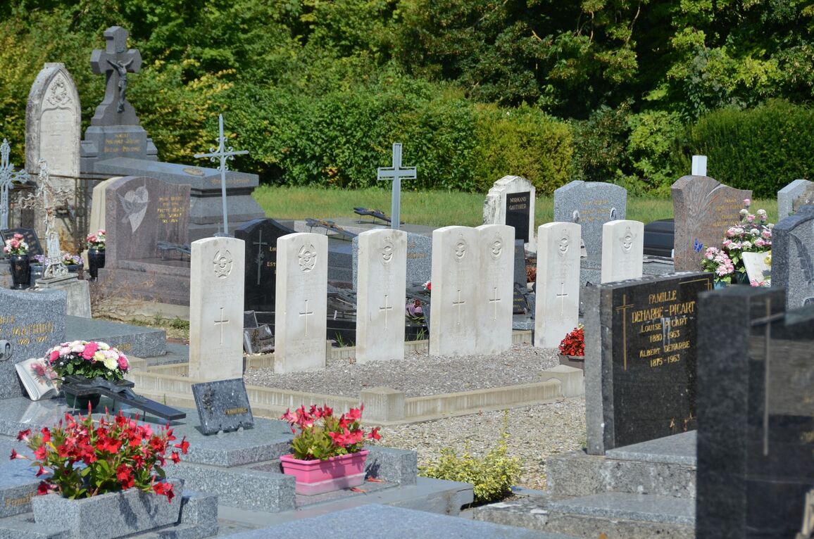
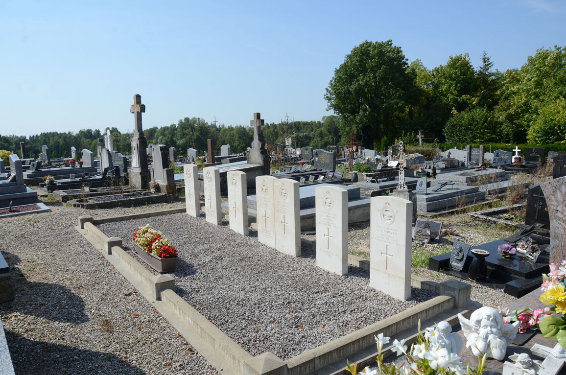
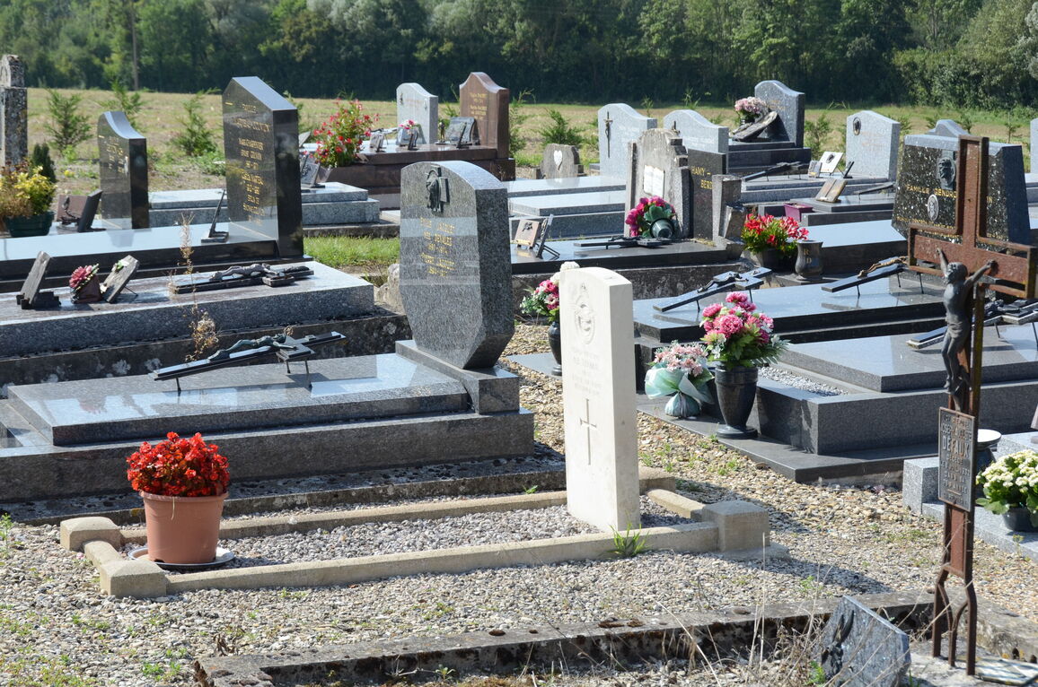
Le Thour Communal Cemetery
- Country France
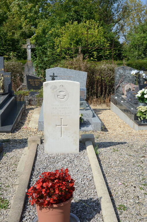
- Total identified casualties 8 Find these casualties
- Region Ardennes
- Identified casualties from Second World War
- GPS Coordinates Latitude: 49.54518, Longitude: 4.08833
Location information
Le Thour is a village 22 kilometres west of Rethel and 4 kilometres east of the N366 road, which runs from Reims to Verins. The Cemetery is about 1 kilometre north of the village.
History information
Le Thour is a village and commune 13.75 miles (22 kilometres) west of Rethel and 2.5 miles (4 kilometres) east of the N.366 road which runs from Reims (Aisne) to Vervins. Rethel, on the Paris to Luxembourg line, is the most convenient station and taxis are available to complete the journey to Le Thour. The cemetery is about half a mile north of the village on a farm road leading off the D.35 road to La Croix Farm and the hamlet of Bethancourt. It contains the graves of eight airmen, six of whom belonged to the Royal Air Force and two to the Royal Canadian Air Force. Seven of the graves are in one row in the north-eastern part of the cemetery; the other is in the south-western part.