Ingrandes-Sur-Loire Communal Cemetery
- Country France
- Total identified casualties 1 Find these casualties
- Region Maine-et-Loire
- Identified casualties from Second World War
- GPS Coordinates Latitude: 47.40319, Longitude: -0.92374
Location information
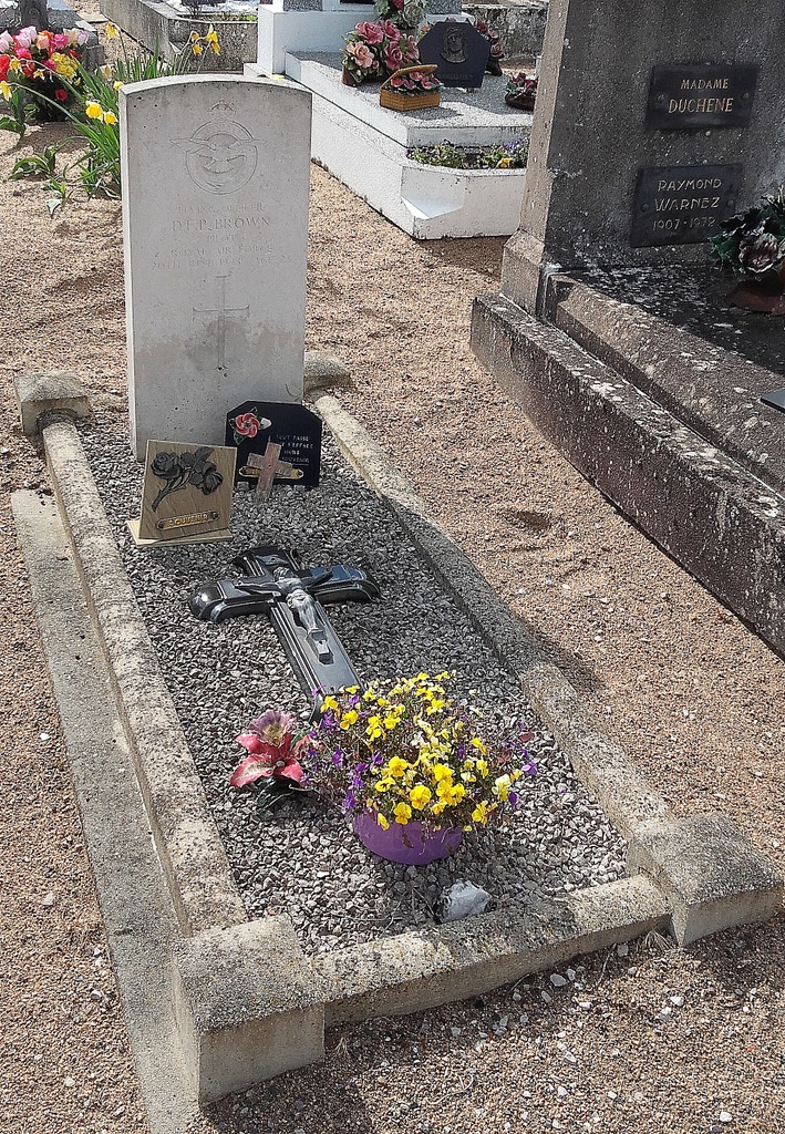
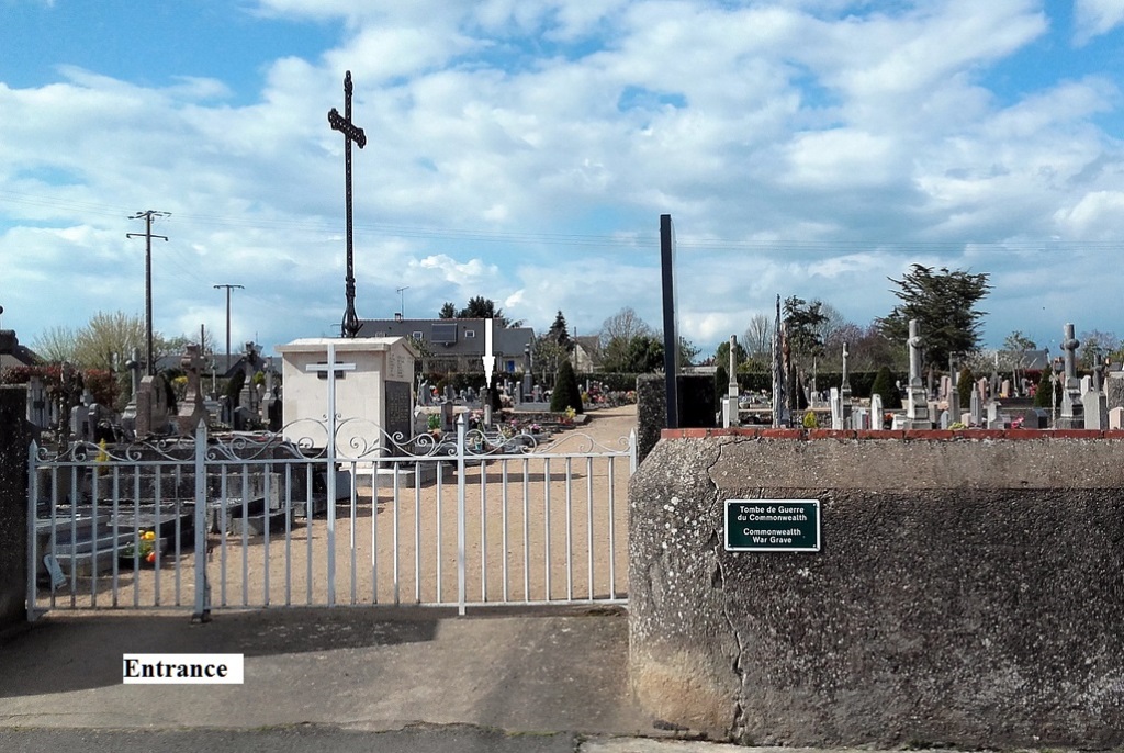
Ingrandes is a village and commune some 21 miles (34 kilometres) east-south-east of Angers. The cemetery is north of the village. There is 1 Commonwealth burial of the 1939-1945 war in this cemetery. The grave is on the left along the main path at the end of the first plot.