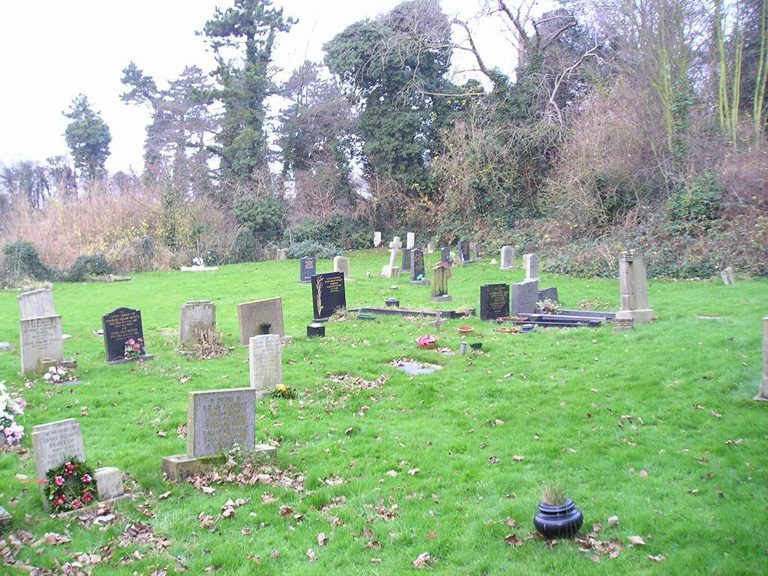
Sutton Bonington (St. Michael) Churchyard Extension
- Country United Kingdom
- Total identified casualties 3 Find these casualties
- Region Nottinghamshire
- Identified casualties from First World War
- GPS Coordinates Latitude: 52.82663, Longitude: -1.25301
Location information
The Extension is by the railway bridge on the North side of the village. The 2 War Graves are in the far left-hand corner.