Netherseal (St. Peter) Churchyard Extension
- Country United Kingdom
- Total identified casualties 2 Find these casualties
- Region Derbyshire
- Identified casualties from First & Second World War
- GPS Coordinates Latitude: 52.71276, Longitude: -1.57599
Location information
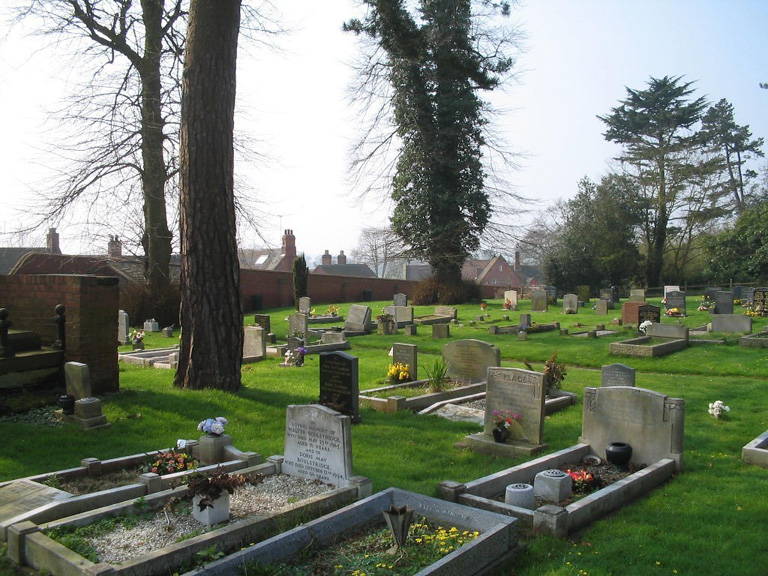
The Churchyard contains 1 Commonwealth burial of the 1914-18 war. The Extension contains 1 of the 1914-18 war and 1 of the 1939-45 war. The Extension is detached from the Churchyard, and adjoins the village green.