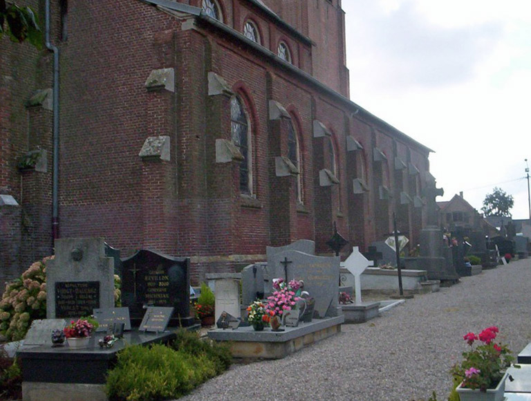
Ste. Marie-Cappel Churchyard
- Country France
- Total identified casualties 1 Find these casualties
- Region Nord
- Identified casualties from Second World War
- GPS Coordinates Latitude: 50.78381, Longitude: 2.50846
Location information
St. Marie-Cappel is a village 42 kilometres north-west of Lille and about 3 kilometres south-east of Cassel, which is a town on the N.16 road from Dunkirk to Hazebrouck. The village is on the secondary road (D.53) from Cassel to Hazebrouck. There is one British grave in the churchyard, about 6 metres north of the north-eastern corner of the church.