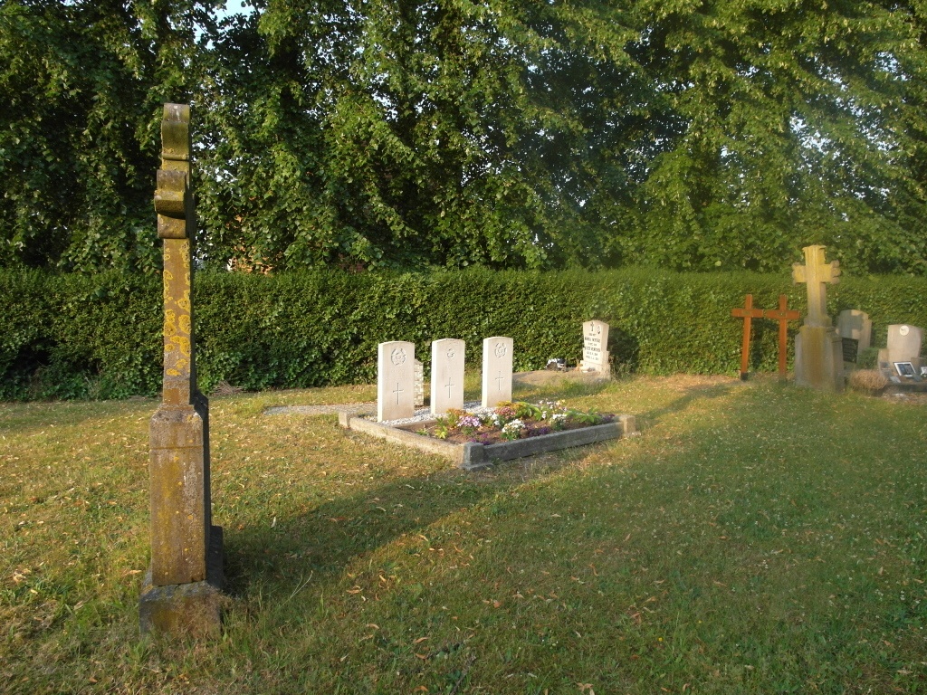
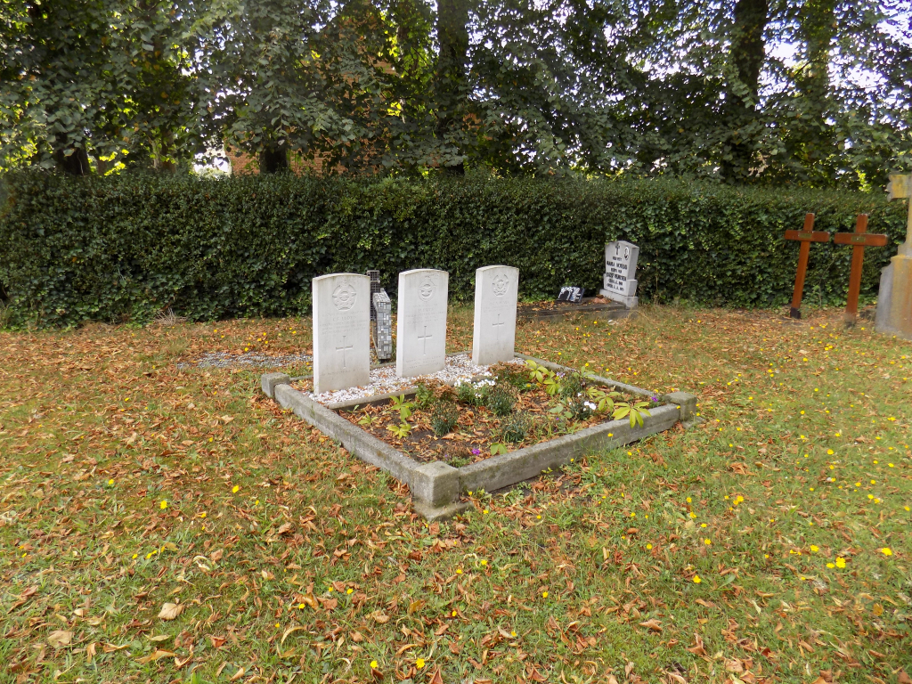
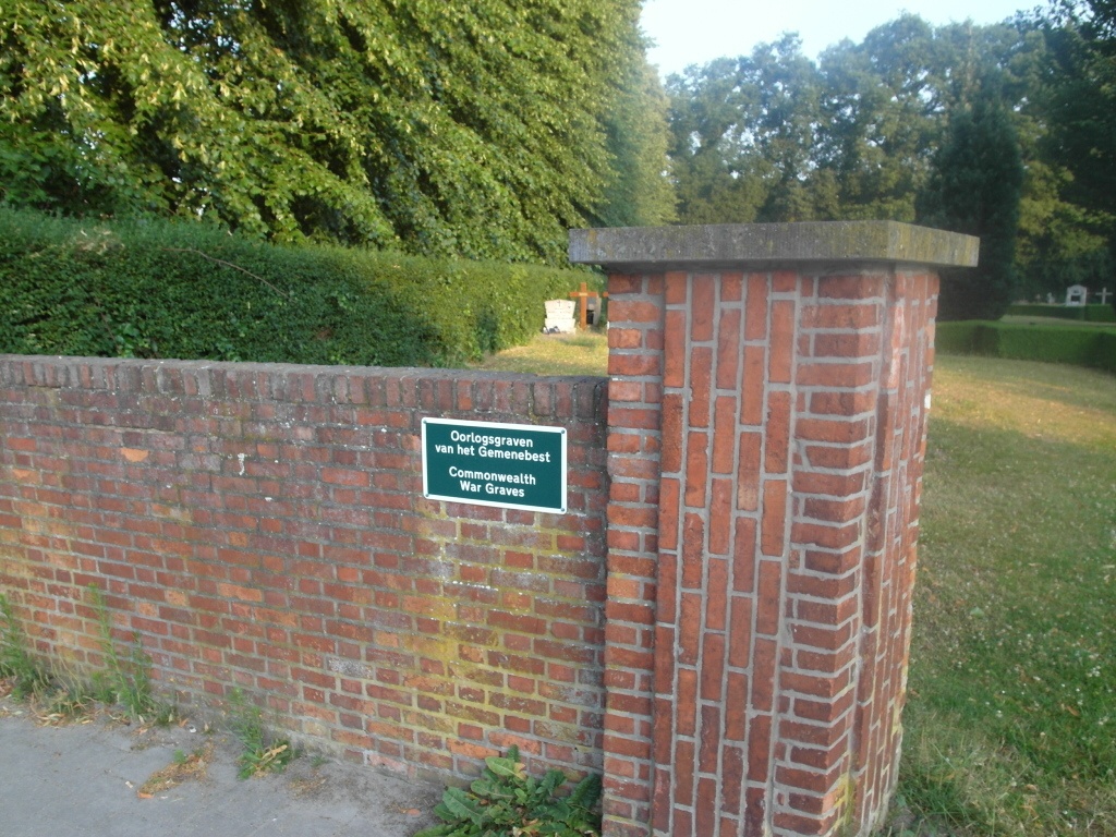
Turnhout (Zevendonk) Churchyard
- Country Belgium
- Total identified casualties 3 Find these casualties
- Region Antwerpen
- Identified casualties from Second World War
- GPS Coordinates Latitude: 51.2921, Longitude: 4.95015
Location information
Turnhout (Sevendonk) Churchyard is located 48 Km north east of Antwerp and 42 km west of Eindhoven. From Antwerp the N12 leads directly to Turnhout itself via Westmalle. From the Grote Markt in the centre of Turnhout follow the one way system around the St Pieters kerk and turn right into the Herentalsstraat which later became Gratakker. Follow this road for 1200 m and this will bring you to the traffic lights at the Turnhout ring road. Go straight over this junction and it will take you onto the Steenweg op Zevendonk. Follow this road for 2200 m then take a small right turning into Tielen Dijk. 100 m along Tielen Dijk is an unmarked crossroads. Turn left into Kapelweg. The cemetery is 300 m along on the right side opposite the cafe.
History information
The British Expeditionary Force was involved in the later stages of the defence of Belgium following the German invasion in May 1940, and suffered many casualties in covering the withdrawal to Dunkirk. Commonwealth forces did not return until September 1944, but in the intervening years, many airmen were shot down or crashed in raids on strategic objectives in Belgium, or while returning from missions over Germany. Turnhout (Zevendonk) Churchyard contains the graves of three Commonwealth airmen of the Second World War.