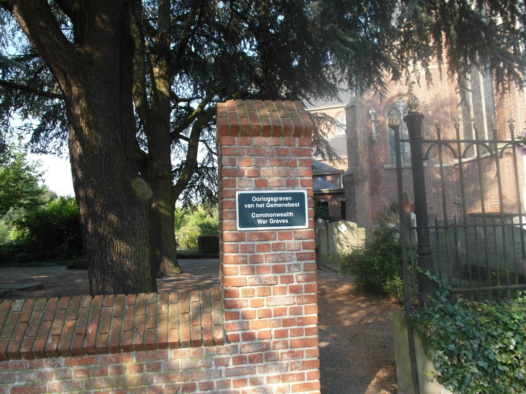
Wuustwezel Churchyard
- Country Belgium
- Total identified casualties 9 Find these casualties
- Region Antwerpen
- Identified casualties from Second World War
- GPS Coordinates Latitude: 51.38859, Longitude: 4.59951
Location information
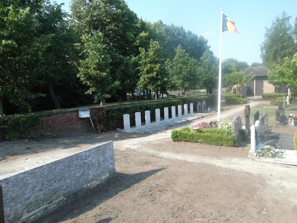
The village of Wuurstwezel is located north of the town of Antwerp off the E19/A1 which runs between Antwerp and Breda, driving from Antwerp follow the E19 to junction 3 Brecht, at the T junction turn left direction Wuustwezel on the N133. Follow the N133 to the village and the church is on the left on entering the village. The graves are located along the rear wall of the churchyard.
History information
The British Expeditionary Force was involved in the later stages of the defence of Belgium following the German invasion in May 1940, and suffered many casualties in covering the withdrawal to Dunkirk. Commonwealth forces did not return until September 1944, but in the intervening years, many airmen were shot down or crashed in raids on strategic objectives in Belgium, or while returning from missions over Germany.
Wuustwezel Churchyard contains nine Commonwealth burials of the Second World War.