Roscanvel Communal Cemetery
- Country France
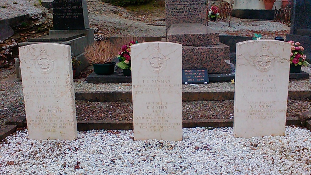
- Total identified casualties 6 Find these casualties
- Region Finistere
- Identified casualties from Second World War
- GPS Coordinates Latitude: 48.31435, Longitude: -4.55167
Location information
Roscanvel is an awkwardly situated village and commune some 49 kilometres north-west of Quimper and 36 kilometres north-west of Chateaulin. The village is on the coast of the Rade de Brest, on a road which turns off the Chateaulin Camaret road at Crozon. It is most conveniently reached by taxi from Quimper. The cemetery is on the western side of a third-class road leading from the church, and is about 200 yards from that church. In the south-western corner, west of the memorial, are the graves of six airmen of the Royal Air Force.