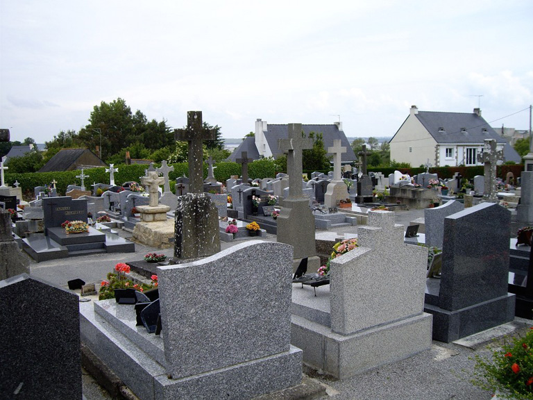
Penestin Communal Cemetery
- Country France
- Total identified casualties 1 Find these casualties
- Region Morbihan
- Identified casualties from Second World War
- GPS Coordinates Latitude: 47.48414, Longitude: -2.4747
Location information
Penestin is a village and commune 28 kilometres south-east of Vannes and 14 kilometres south-west of La Roche-Bernard. The cemetery is situated directly behind the church in the centre of the village and can be accessed by driving down the small road 'Allée de Bellevue'.
History information
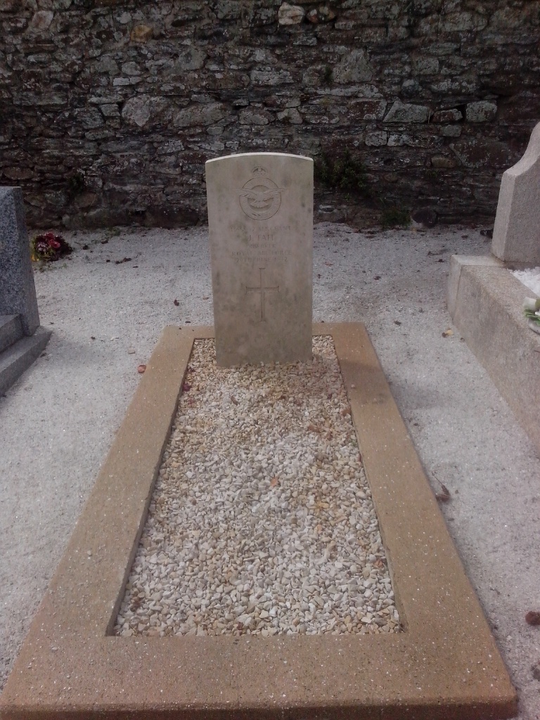
The burial is close to the boundary wall, south-west (left) from the main entrance.