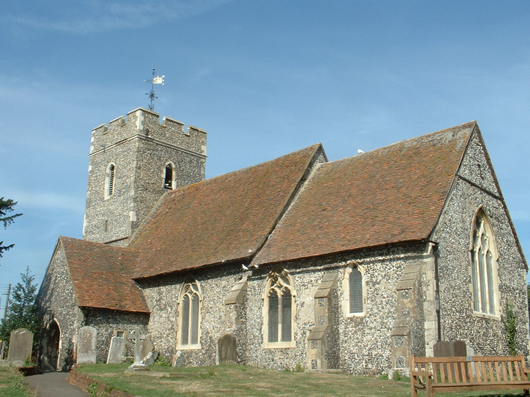
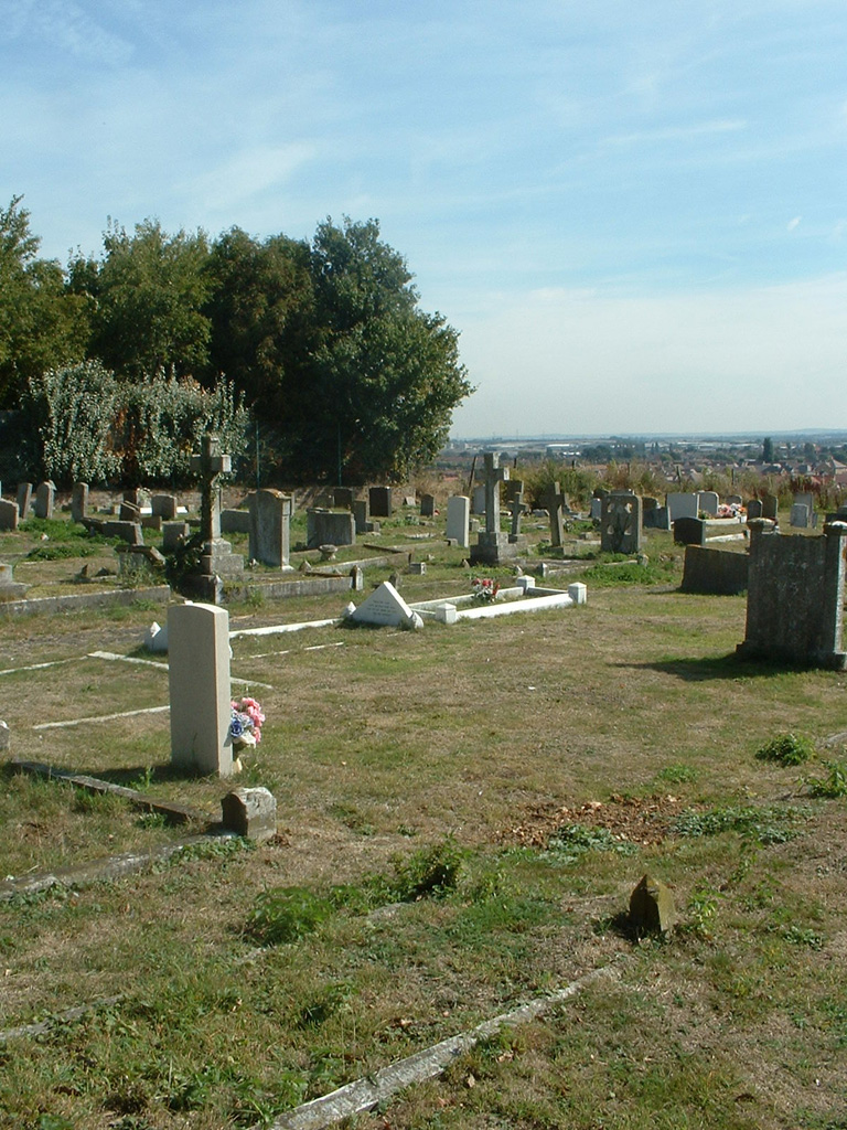
Bobbing (St. Bartholomew) Churchyard
- Country United Kingdom
- Total identified casualties 6 Find these casualties
- Region Kent
- Identified casualties from First & Second World War
- GPS Coordinates Latitude: 51.3538, Longitude: 0.70996
Location information
Bobbing lies 3 kilometres north-west of Sittingbourne and 27 kilometres west-north-west of Canterbury. In this churchyard there are three 1914-1918 Commonwealth war graves and two 1939-1945 Commonwealth war graves.