Mezerolles Communal Cemetery
- Country France
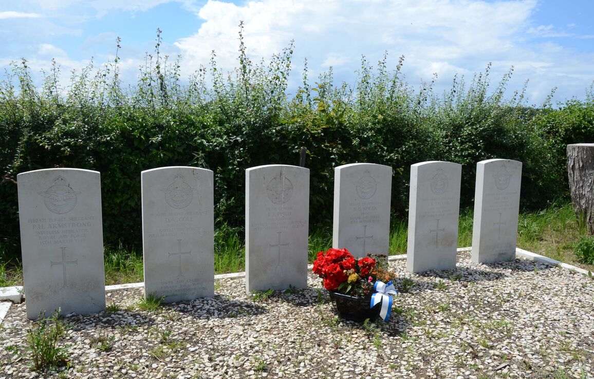
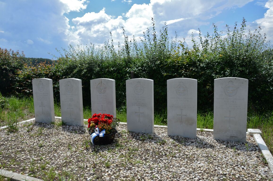
- Total identified casualties 6 Find these casualties
- Region Somme
- Identified casualties from Second World War
- GPS Coordinates Latitude: 50.18657, Longitude: 2.24372
Location information
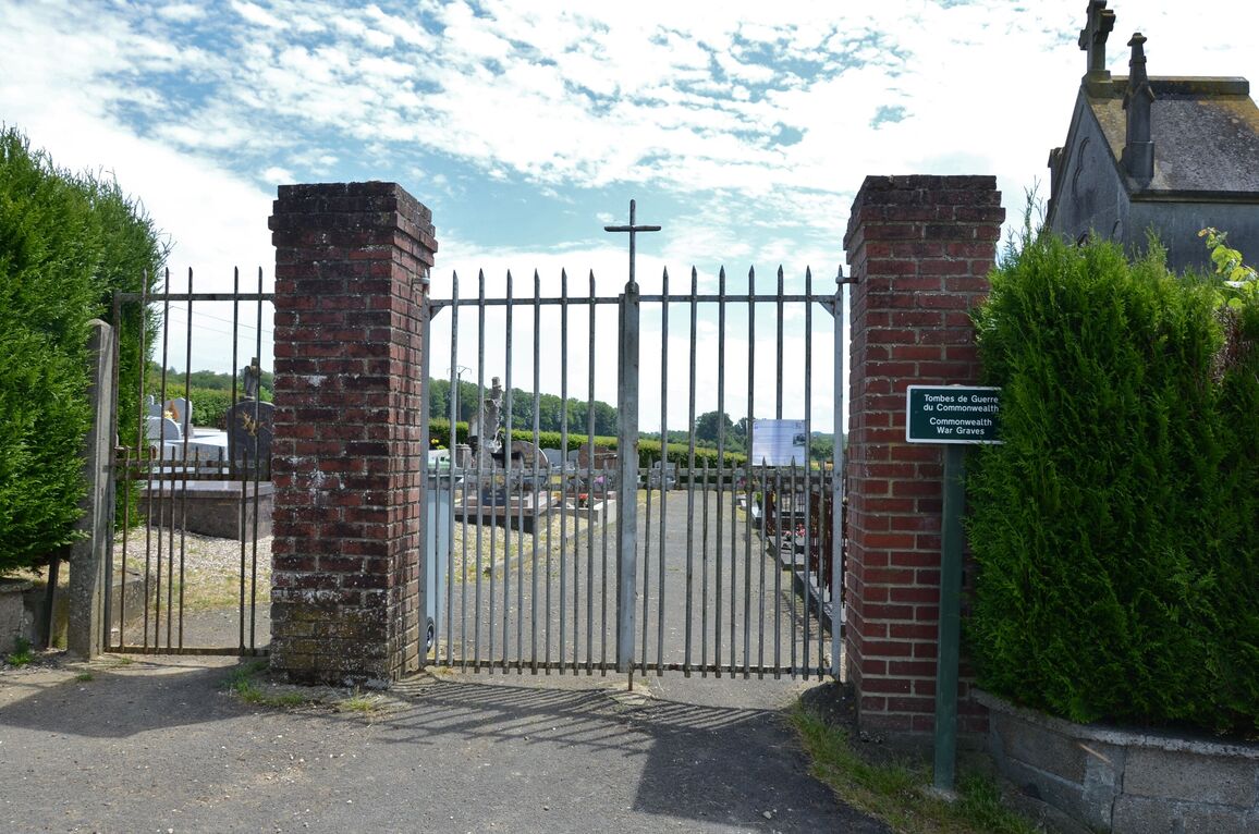
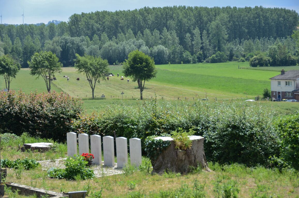
Mezerolles is a village and commune 8 kilometres west north west of the small town of Doullens, which is on the main road from Amiens to St. Pol (N.16) about 30 kilometres north of Amiens. The village is on the N.338 road from Doullens to Auxi-le-Chateau. The communal cemetery is south-east of the village in a by-road leading from the N.338 road. Near the south-eastern corner are the graves of six airmen, five of whom belong to the Royal Air Force and one to the Royal Canadian Air Force.