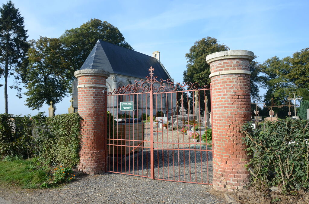
Sentelie Churchyard
- Country France
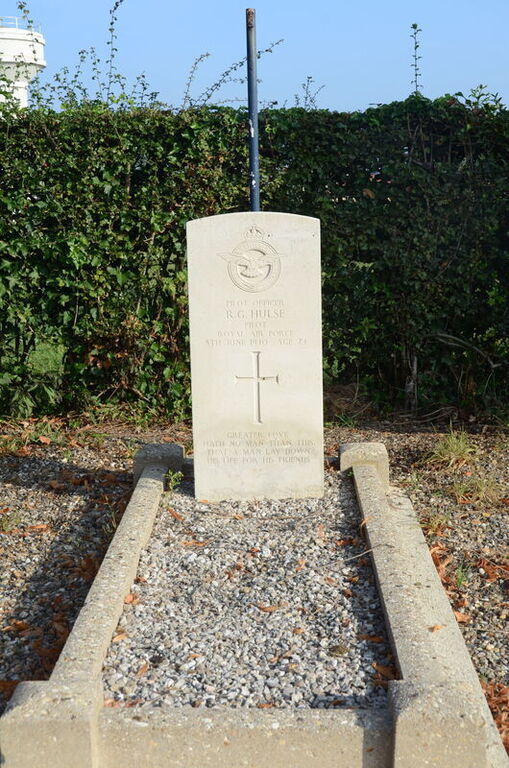
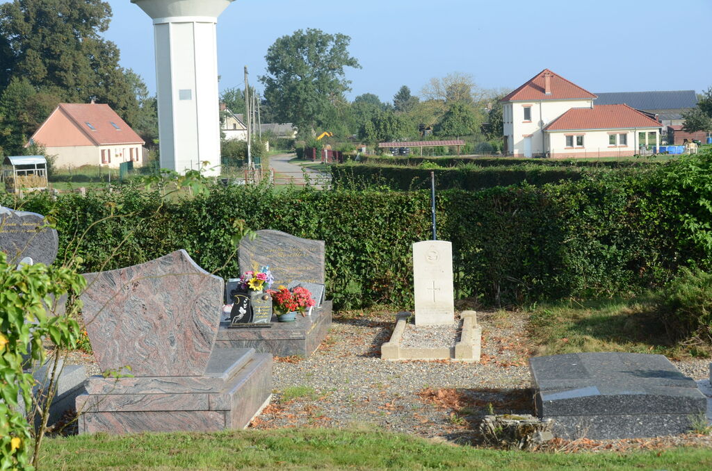
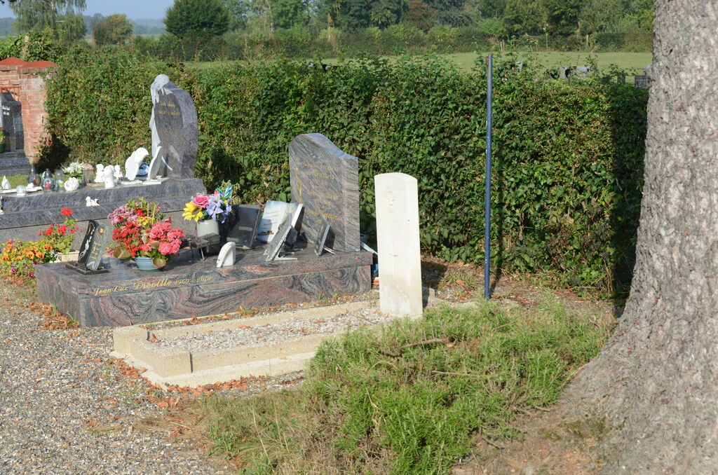
- Total identified casualties 1 Find these casualties
- Region Somme
- Identified casualties from Second World War
- GPS Coordinates Latitude: 49.72066, Longitude: 2.02944
Location information
Sentelie is a village and commune about 27 kilometres south-west of Amiens and 6 kilometres south-east of Poix, a small town at the intersection of the N.29 (Amiens-Le Havre) and the N.1 (Paris-Boulogne) roads. The British grave in this churchyard adjoins the northern boundary to the east of the gate.