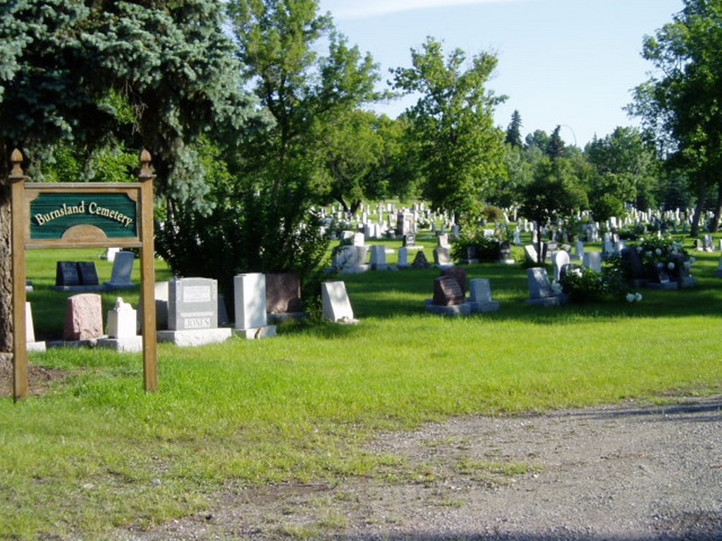
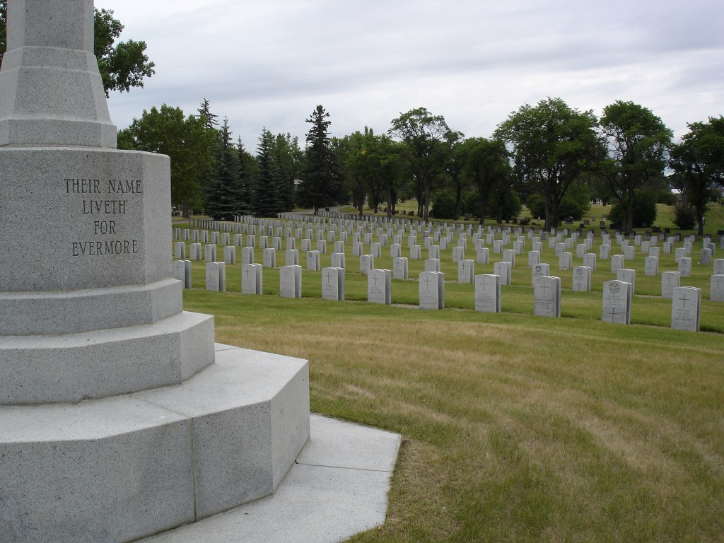
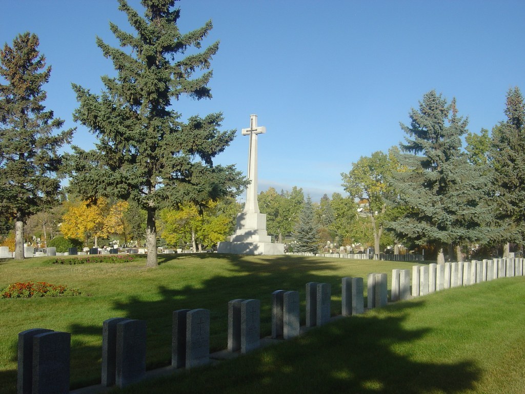
Calgary (Burnsland) Cemetery
- Country Canada
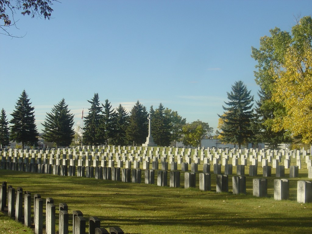
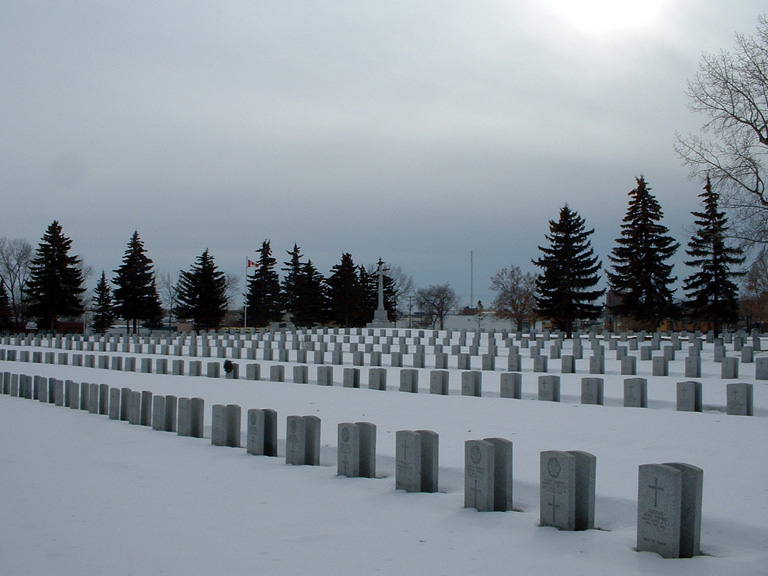
- Total identified casualties 198 Find these casualties
- Region Alberta
- Identified casualties from First & Second World War
- GPS Coordinates Latitude: 51.0266, Longitude: -114.05352
Location information
Calgary, in the south-western part of Alberta, is on both the Trans-Canada Highway and Highway, No2, 304 kilometres south of Edmonton. The cemetery is located east of the McLeod Trail in Calgary, on the corner of 27th Avenue and Spiller Road (South East).
Visiting information
The cemetery grounds are open daily for visitation from 8:00 a.m. until 6:00 p.m. The cemetery office is located at Queen's Park Cemetery and is open Monday to Friday from 8:00 a.m. to 4:30 p.m. On Saturday and Sunday the hours differ weekly, so visitors should telephone the cemetery office for weekend hours.
History information
Calgary was the headquarters to No 13 Military District during the First World War, and the city had four military hospitals with 918 beds. During the Second World War, a small arms training centre, an infantry training centre and a service flying training school were set up at Calgary, the latter under the British and Commonwealth Air Training Plan. There was also an elementary flying training school at De Winton, a few miles south of the city. The Calgary Royal Air Force stations were at Lincoln Park and McCall Field.
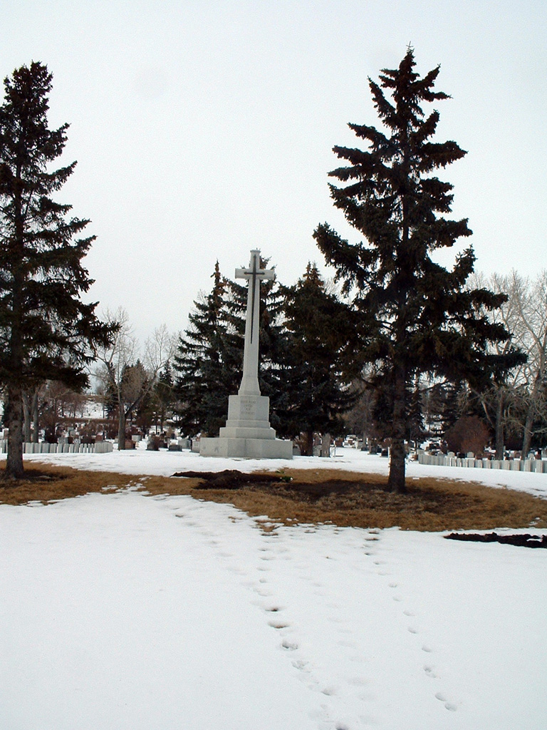
Calgary (Burnsland) Cemetery contains one Commonwealth burial of the First World War and 197 from the Second World War, most of them airmen who died during training. Nearly all the war graves lie in an extensive Veterans' Section.