Caron Municipal Cemetery
- Country Canada
- Total identified casualties 10 Find these casualties
- Region Saskatchewan
- Identified casualties from Second World War
- GPS Coordinates Latitude: 50.47763, Longitude: -105.85535
Location information
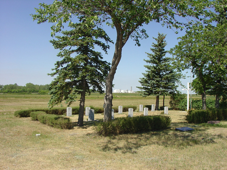
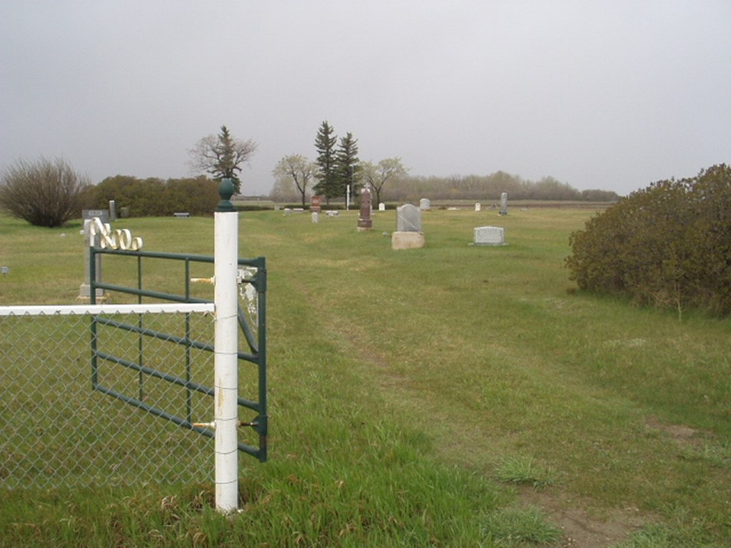
The village of Caron is 26 kilometres west of Moose Jaw on the main line of the Canadian Pacific Railway. The Municipal Cemetery, which belongs to the local rural authorities, is situated 3.2 kilometres north of the village.
History information
The 10 war graves in this cemetery are those of airmen of the Royal Air Force who lost their lives in the area while training at No. 33 Elementary Flying Training School established at Caron during the war.