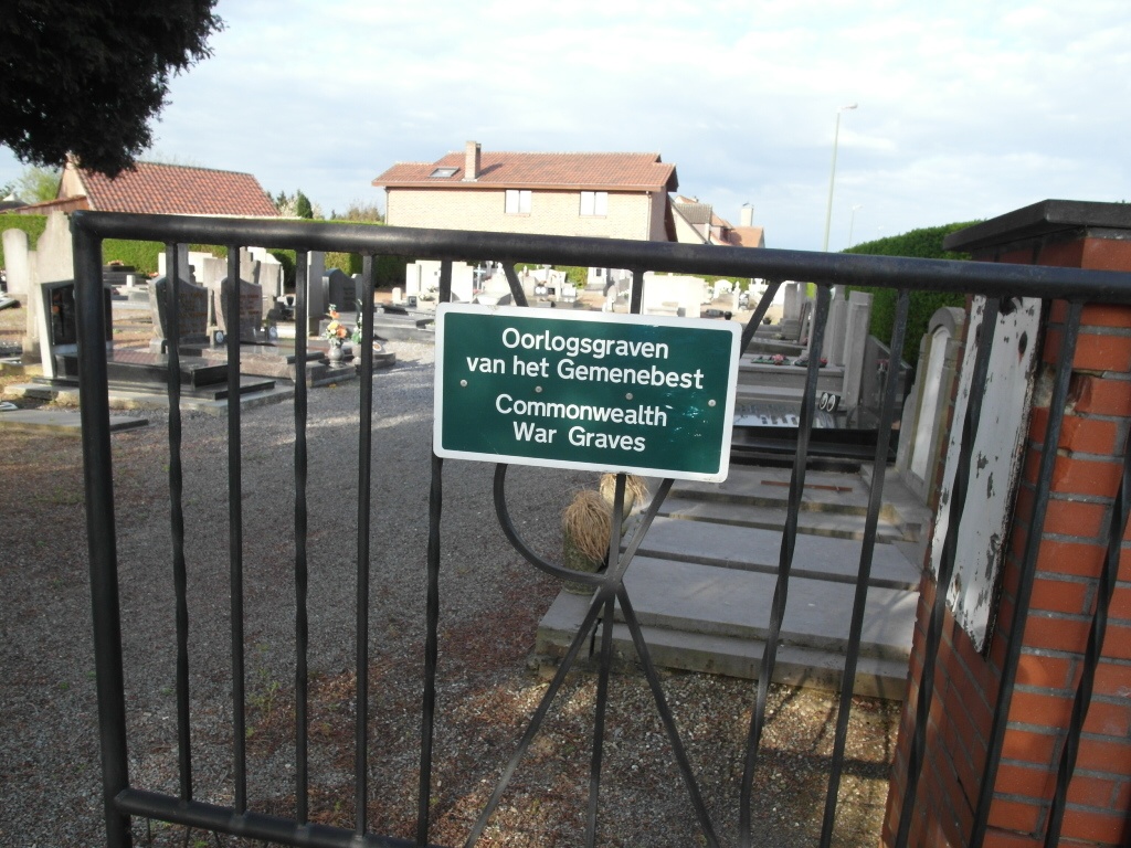
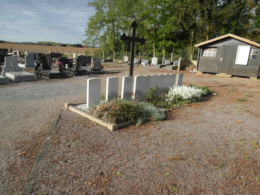
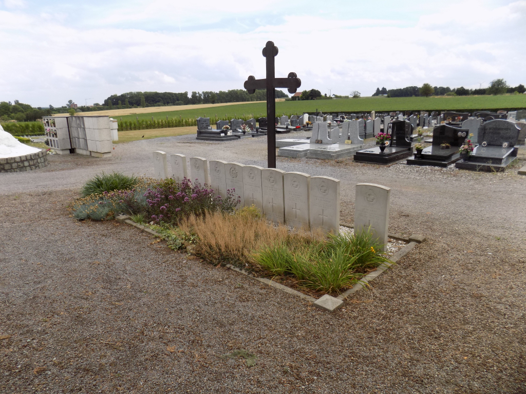
Kaggevinne Communal Cemetery
- Country Belgium
- Total identified casualties 10 Find these casualties
- Region Vlaams-Brabant
- Identified casualties from Second World War
- GPS Coordinates Latitude: 50.97492, Longitude: 5.01954
Please note
Please note that there is a risk from oncoming traffic at this site. Visitors who come by car can only park next to the road; partly on the pedestrian walk and partly on the street.
Location information
Kaggevinne is situated on the N10 road which runs between Diest and Aarschot. From Diest take the N10 in the direction of Aarschot. Follow the N10 over the junction with the ring R26 in the direction of Kaggevinne. At the third crossroads turn left into Prinsenbosstraat, then first left into Bredastraat. The cemetery is along here on the right near the junction with Ketelwinning.
History information
The British Expeditionary Force was involved in the later stages of the defence of Belgium following the German invasion in May 1940, and suffered many casualties in covering the withdrawal to Dunkirk. Commonwealth forces did not return until September 1944, but in the intervening years, many airmen were shot down or crashed in raids on strategic objectives in Belgium, or while returning from missions over Germany. Kaggevinne Communal Cemetery contains the graves of ten Commonwealth airmen of the Second World War.