Linden Communal Cemetery
- Country Belgium
- Total identified casualties 1 Find these casualties
- Region Vlaams-Brabant
- Identified casualties from Second World War
- GPS Coordinates Latitude: 50.89588, Longitude: 4.7625
Location information
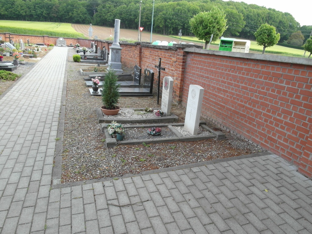
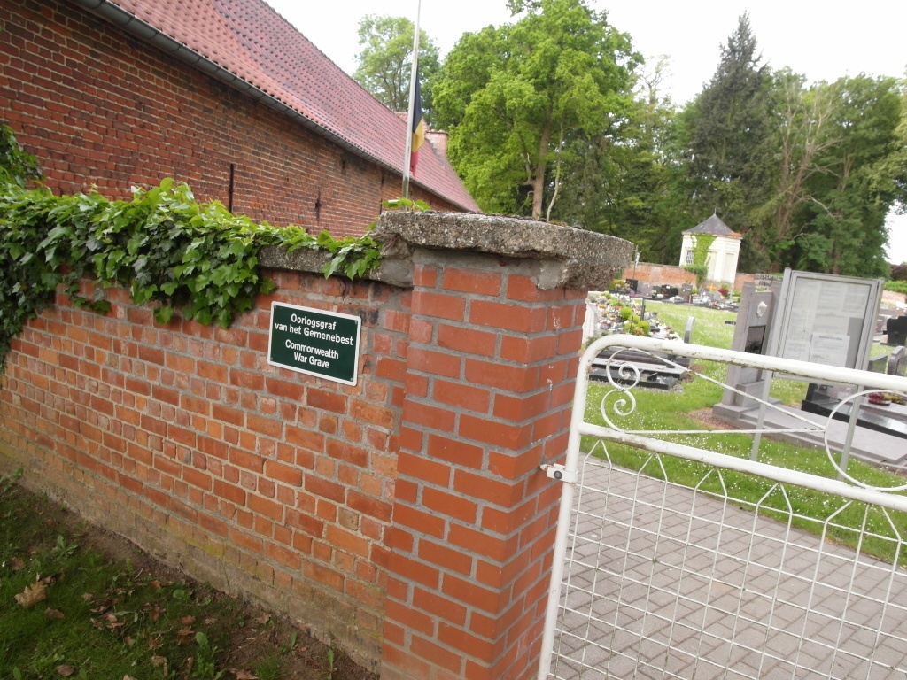
The Village of Linden is 38 kilometres east of Brussels and 6 kilometres east of Leuven, off the N2. From Leuven, follow the N2 in the direction of Diest. After passing through Kessel-Lo, Linden is the next village. Turn left into Wolvendreef towards Linden and follow the road to the end, turning left into Nachtegalenstraat then first right into Kasteeldreef. The cemetery is along this road. The Commonwealth grave is close to the entrance gates, in the north-eastern part of the cemetery.
History information
The British Expeditionary Force was involved in the later stages of the defence of Belgium following the German invasion in May 1940, and suffered many casualties in covering the withdrawal to Dunkirk. Linden Communal Cemetery contains one Commonwealth burial of the Second World War.