Ohain Communal Cemetery
- Country Belgium
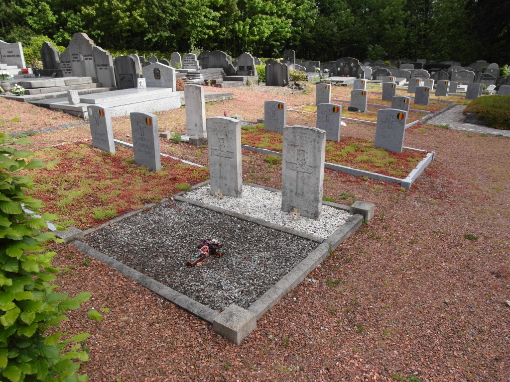
- Total identified casualties 3 Find these casualties
- Region Brabant Wallon
- Identified casualties from Second World War
- GPS Coordinates Latitude: 50.69548, Longitude: 4.46458
Location information
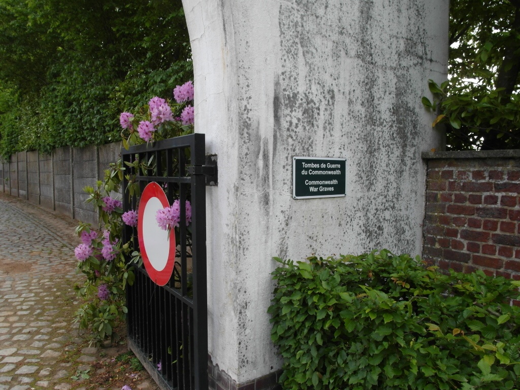
Ohain is a village 23 kilometres south-south-east of Brussels, and 5 kilometres east of the main Brussels-Charleroi road. The cemetery is on the south-west side of the village, on the Chemin du Pêque, about 450 metres from the church. The Commonwealth graves are in the Belgian pelouse d'honneur at the northern end of the cemetery.
History information
The British Expeditionary Force was involved in the later stages of the defence of Belgium following the German invasion in May 1940, and suffered many casualties in covering the withdrawal to Dunkirk. Ohain Communal Cemetery contains three Commonwealth burials of the Second World War.