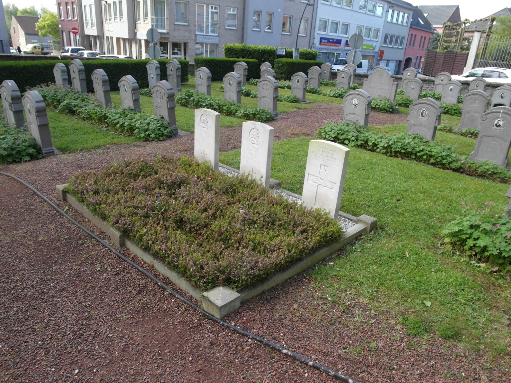
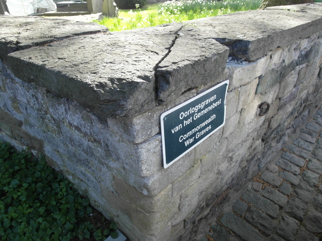
St. Pieters-Leeuw Churchyard
- Country Belgium
- Total identified casualties 1 Find these casualties
- Region Vlaams-Brabant
- Identified casualties from Second World War
- GPS Coordinates Latitude: 50.77896, Longitude: 4.24296
Location information
St Pieters-Leeuw Churchyard is located 13 Km south west of Brussels. From the Grote Markt in Halle go around the Stadhuis and turn right down Vuurkruisenstraat, driving until this becomes Molenbosse. Continue to the end of Molenbosse and turn right at the 'T' junction into L Theunickens straat and first left into Bergensesteenweg. Drive to the traffic lights and turn right along August Demavqegt laan. This then becomes Brusselsesteenweg. Drive 3 km and turn left at traffic lights into Europalaan and follow this road going straight on at the next traffic lights into Jozef Pauwstraat and on until you arrive in St Pieters-Leeuw. The Commission plot is located in the grounds of the Church in the centre of the village.
History information
The British Expeditionary Force was involved in the later stages of the defence of Belgium following the German invasion in May 1940, and suffered many casualties in covering the withdrawal to Dunkirk.
St. Pieters-Leeuw Churchyard contains three Commonwealth burials of the Second World War, two of them unidentified.