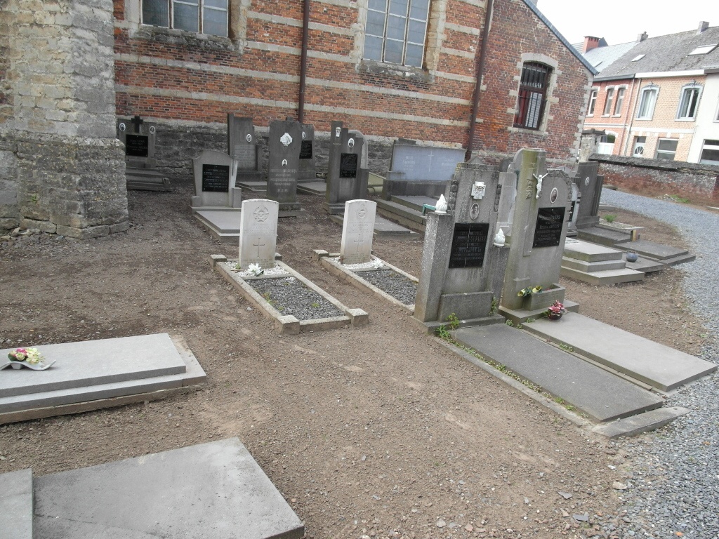
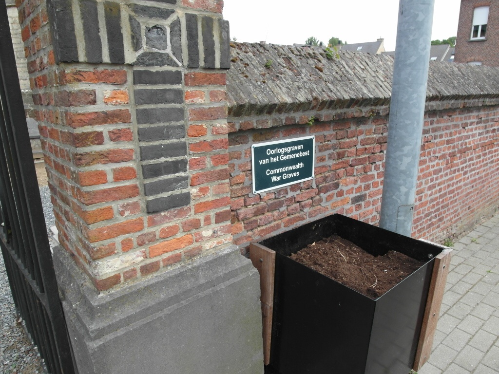
Tildonk Churchyard
- Country Belgium
- Total identified casualties 2 Find these casualties
- Region Vlaams-Brabant
- Identified casualties from Second World War
- GPS Coordinates Latitude: 50.9445, Longitude: 4.64385
Location information
The village of Tildonk is located north-west of the town of Leuven off the N26 which runs between Leuven and Mechelen. From the A2 motorway turn off at junction 18 Leuven-Herent and onto the N26 direction Mechelen, at the far end of the village of Delle is a crossroads, turn right here into Eikstraat for the village of Tildonk. Follow this road to the T junction then turn left into Lipsestraat, on entering the village the church is on the left. The graves are located at the rear of the church.
History information
The British Expeditionary Force was involved in the later stages of the defence of Belgium following the German invasion in May 1940, and suffered many casualties in covering the withdrawal to Dunkirk. Commonwealth forces did not return until September 1944, but in the intervening years, many airmen were shot down or crashed in raids on strategic objectives in Belgium, or while returning from missions over Germany.
Tildonk Churchyard contains the graves of two Commonwealth airmen of the Second World War.