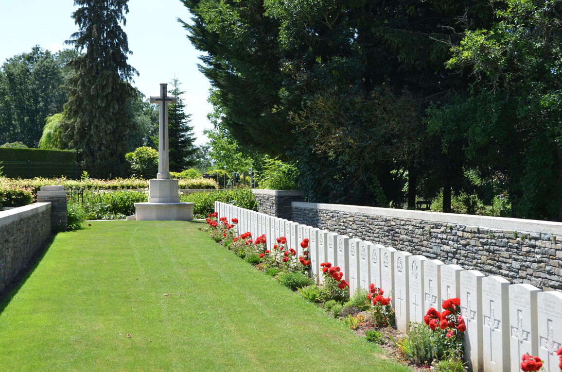
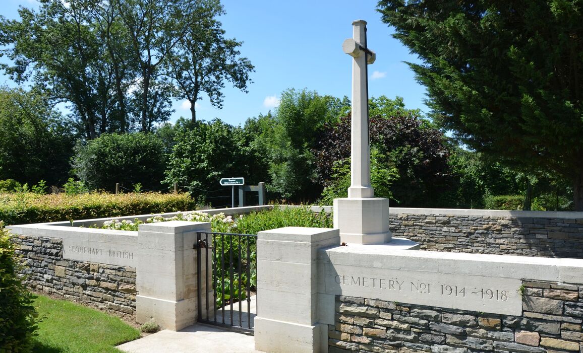
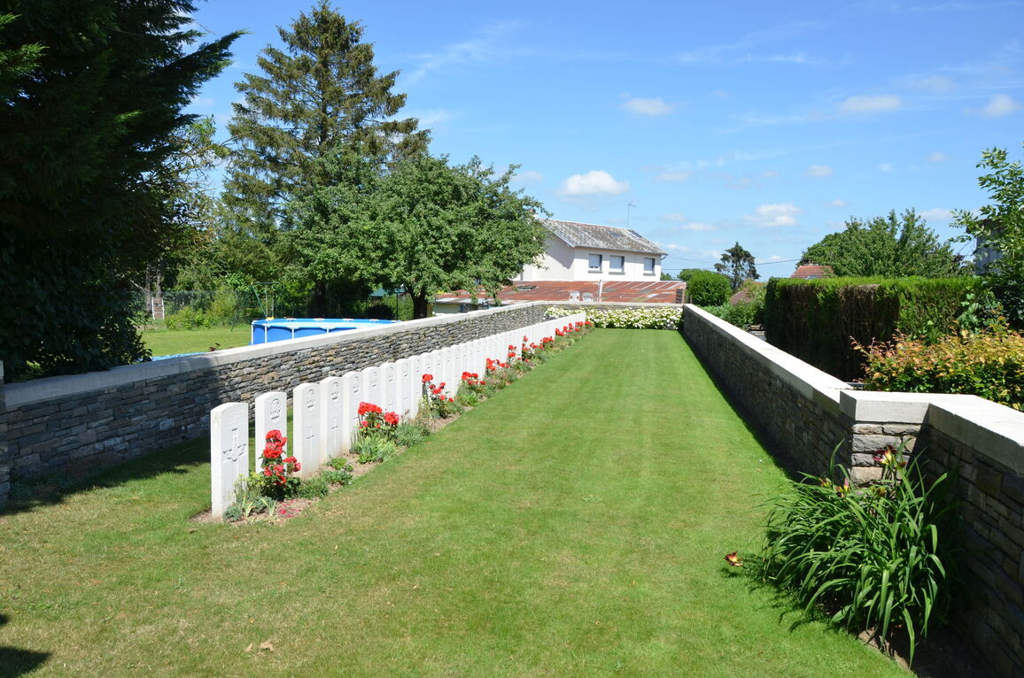
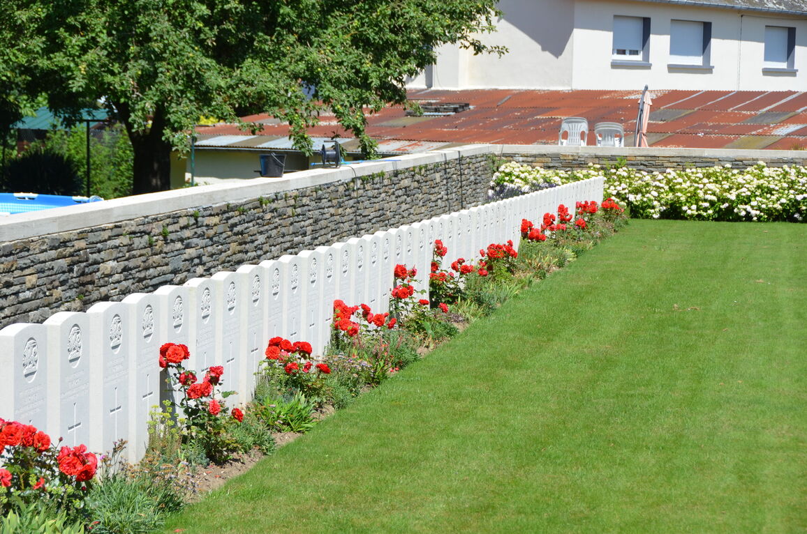
Sequehart British Cemetery No.1
- Country France
- Total identified casualties 54 Find these casualties
- Region Aisne
- Identified casualties from First World War
- GPS Coordinates Latitude: 49.92817, Longitude: 3.3315
Location information
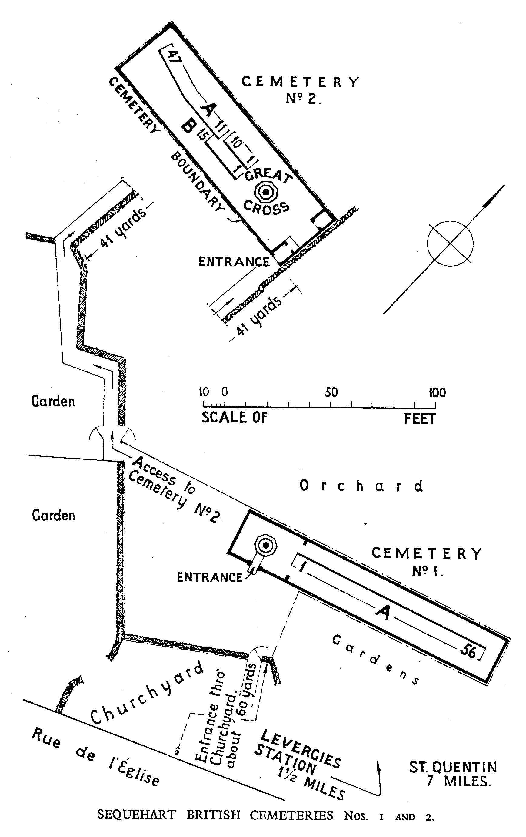
Sequehart is a village in the Department of the Aisne, 8 kilometres north-east of St. Quentin, and the Sequehart British Cemeteries No. 1 and No. 2 are just south of the road to Levergies.
Visiting information
The location or design of this site make wheelchair access impossible.
For further information regarding wheelchair access, please contact our enquiries department on 01628 634221.
History information
Sequehart was captured on the 3rd October 1918 after three days' fighting, by the 5th/6th Royal Scots and the 15th Highland Light Infantry (32nd Division). The British Cemetery No.1 was made on the 10th October 1918, by the 1st/6th Sherwood Foresters.
There are now 56, 1914-18 war casualties commemorated in this site. Of these, 2 are unidentified. All fell in the first 8 days of October.
The cemetery covers an area of 772 square metres.