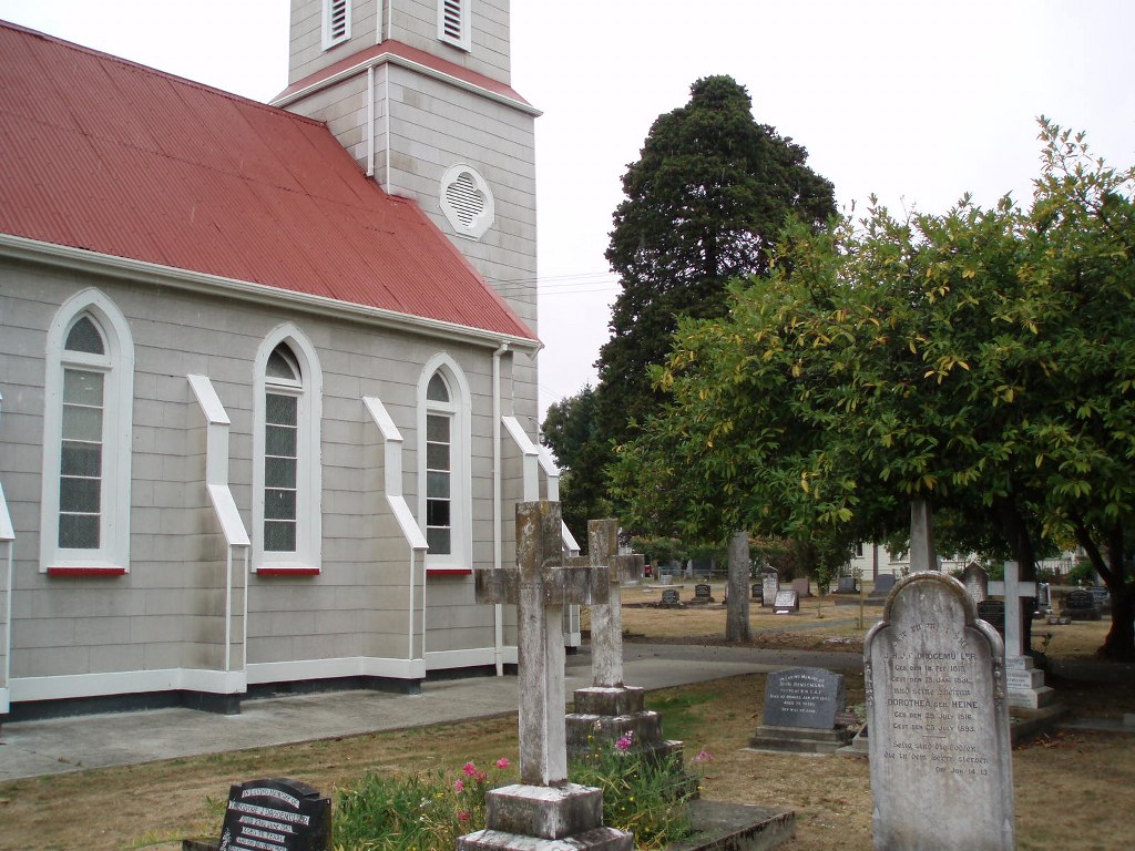
Upper Moutere (St. Paul's Lutheran Churchyard) Cemetery
- Country New Zealand
- Total identified casualties 1 Find these casualties
- Region Tasman District
- Identified casualties from Second World War
- GPS Coordinates Latitude: -41.27055, Longitude: 173.00537
Location information
This cemetery is situated in the village next to the school, in Supplejack Valley Road.