Wittering (All Saints) Churchyard
- Country United Kingdom
- Total identified casualties 33 Find these casualties
- Region Northamptonshire
- Identified casualties from Second World War
- GPS Coordinates Latitude: 52.60586, Longitude: -0.44216
Location information
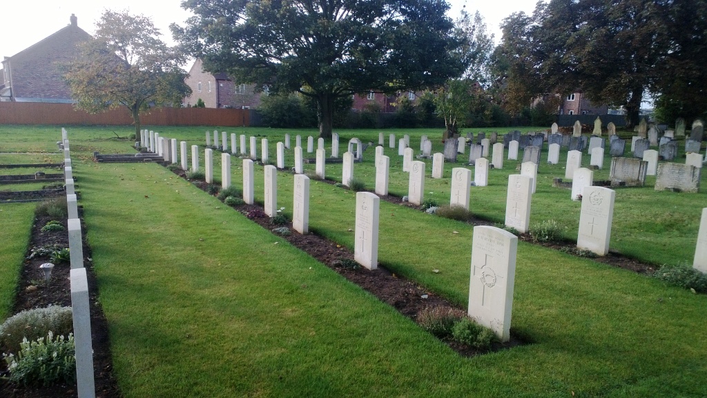
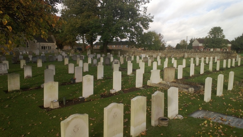
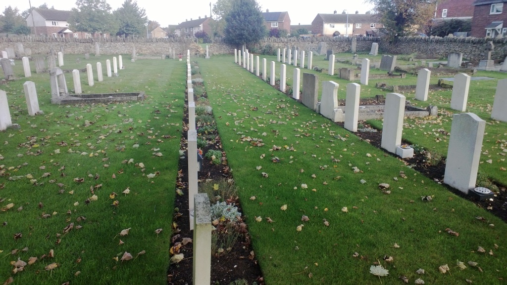
Wittering is a village alongside the main A1 four miles south of Stamford. The churchyard is to the south of the village, along Church Road.
History information
The churchyard contains the graves of 33 casualties of the 1939-45 war, 30 of whom served with the air forces of the Commonwealth. Their graves form a plot in three rows, set aside for casualties from the nearby airfield at Wittering during the Second World War.