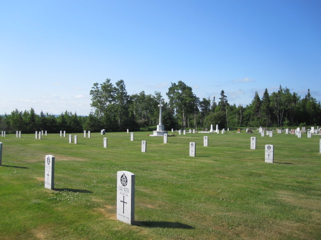
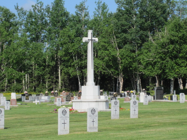
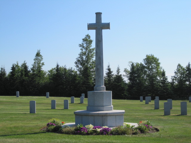
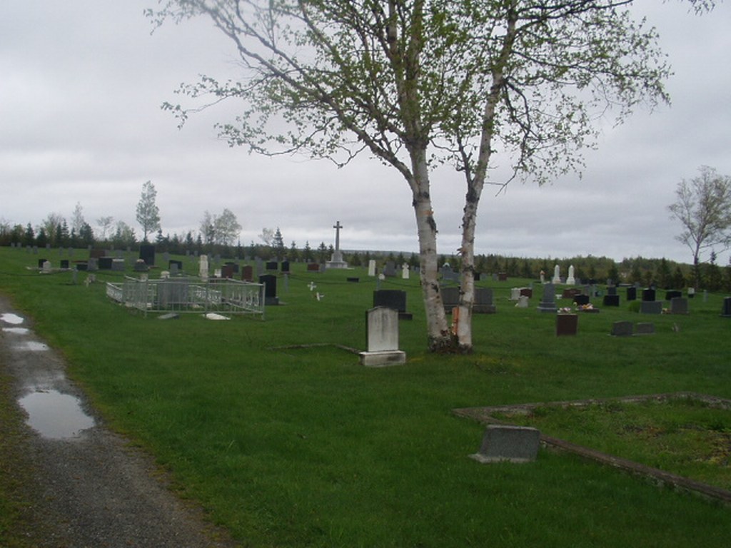
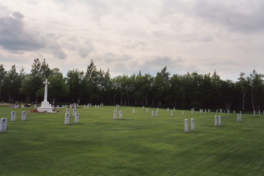
Gander War Cemetery
- Country Canada
- Total identified casualties 100 Find these casualties
- Region Newfoundland and Labrador
- Identified casualties from Second World War
- GPS Coordinates Latitude: 48.92426, Longitude: -54.57178
Location information
The cemetery is located a quarter mile north of the Trans Canada Highway and two miles east of the town of Gander. Along the Trans Canada Highway there are signs in either direction pointing to the Commonwealth War Graves Commission Cemetery.
Visiting information
The cemetery grounds are open for visitation every day from sunrise until sunset.
History information
Gander Airport, which had been an experimental flying station before the Second World War, was greatly expanded and developed in connection with the Atlantic Ferry Organisation for the transport of aircraft. During the war, air-reconnaissance planes and military defence forces were based at Gander, which was the headquarters of an anti-aircraft regiment of the Royal Canadian Army. Most of the airmen buried in Gander Cemetery were killed in aircraft which crashed in this area during the war. Gander War Cemetery contains 100 burials of the Second World War.