Berchem (Kluisbergen) Communal Cemetery
- Country Belgium
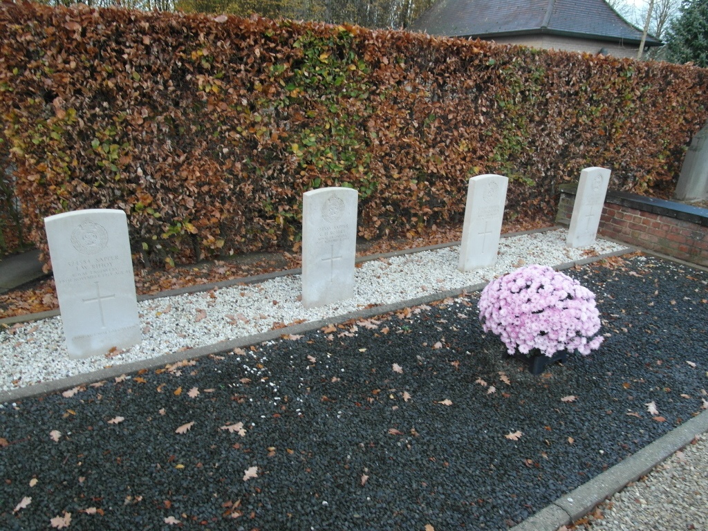
- Total identified casualties 4 Find these casualties
- Region Oost-Vlaanderen
- Identified casualties from First World War
- GPS Coordinates Latitude: 50.79562, Longitude: 3.52127
Location information
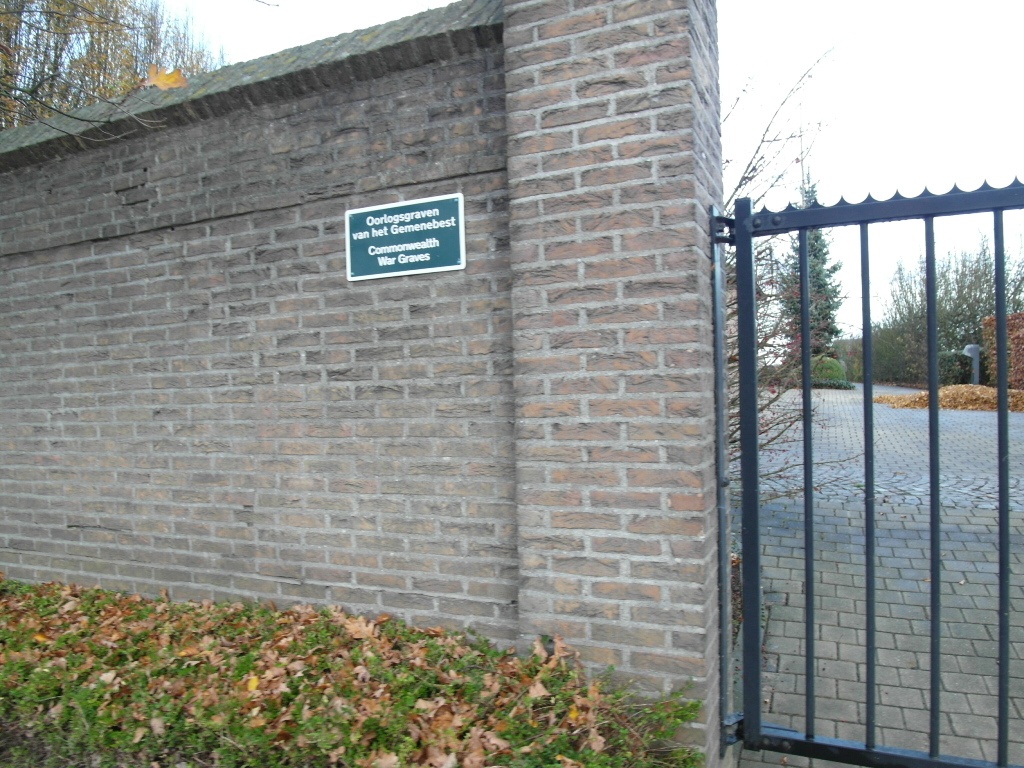
The village of Berchem is located south-west of the town of Oudenaarde on the N36. From the motorway E40/A10, which runs between Oostende and Brussels, turn off at junction 15 onto the N60 direction Oudenaarde. Follow this road past Oudenaarde to the junction with the N8, turn right here onto the N8 direction Melden/Berchem. At the outskirts of Berchem the cemetery is on the right on this road. From the main entrance enter the cemetery and turn left. Follow the path to where it bends right and the war graves are located next to the path. From the gate with the Commission sign enter the cemetery and turn right into the narrow path that passes through the hedge. The graves are located through the hedge on the left.
History information
Berchem (Kluisbergen) Communal Cemetery contains four Commonwealth burials of the First World War.