Petegem Churchyard
- Country Belgium
- Total identified casualties 1 Find these casualties
- Region Oost-Vlaanderen
- Identified casualties from First World War
- GPS Coordinates Latitude: 50.83324, Longitude: 3.5563
Location information
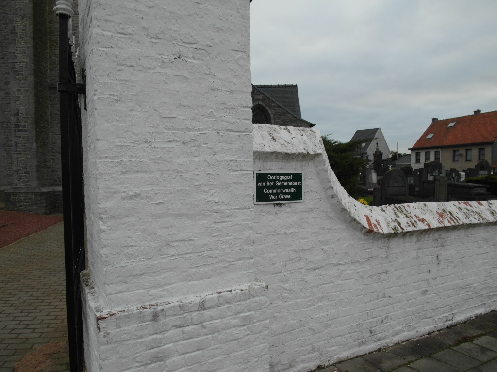
The village of Petegem (Peteghem) is located south-west of the town of Oudenaarde on the N453. From the motorway E40/A10, which runs between Oostende and Brussels, turn off at junction 15 onto the N60, direction Oudenaarde. Follow this road to Oudenaarde and the junction with the N453. Turn right onto the N453, direction Petegem, then turn right off the N453 into Petegem. The church is on the right in the village centre. The graves are located to the left of the church.
History information
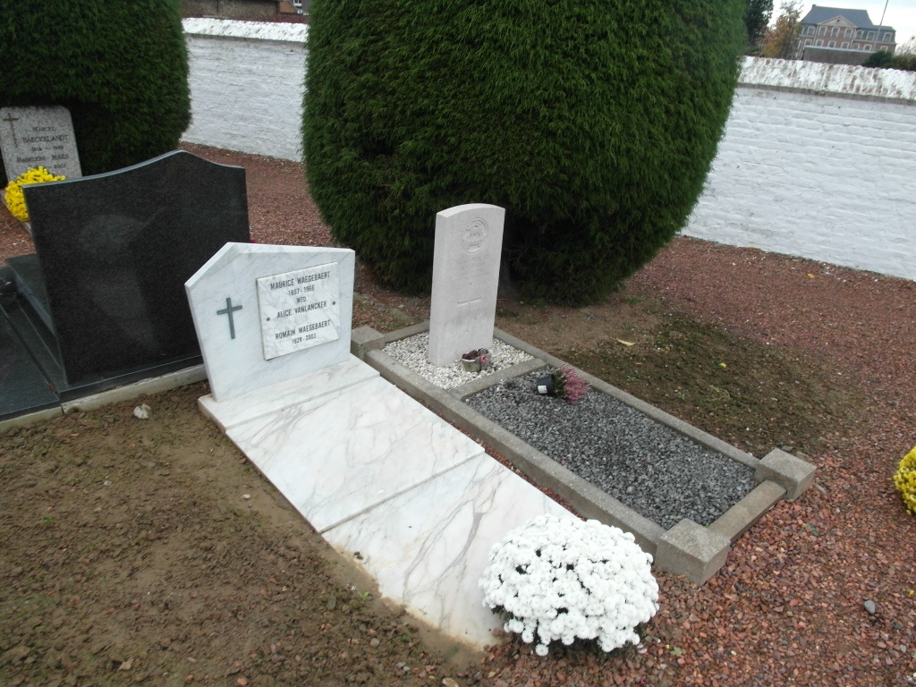
Petegem Churchyard contains one Commonwealth burial of the First World War.