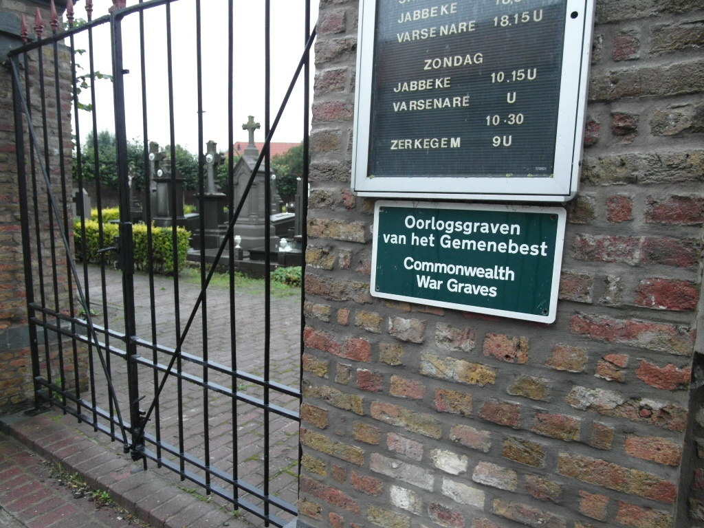
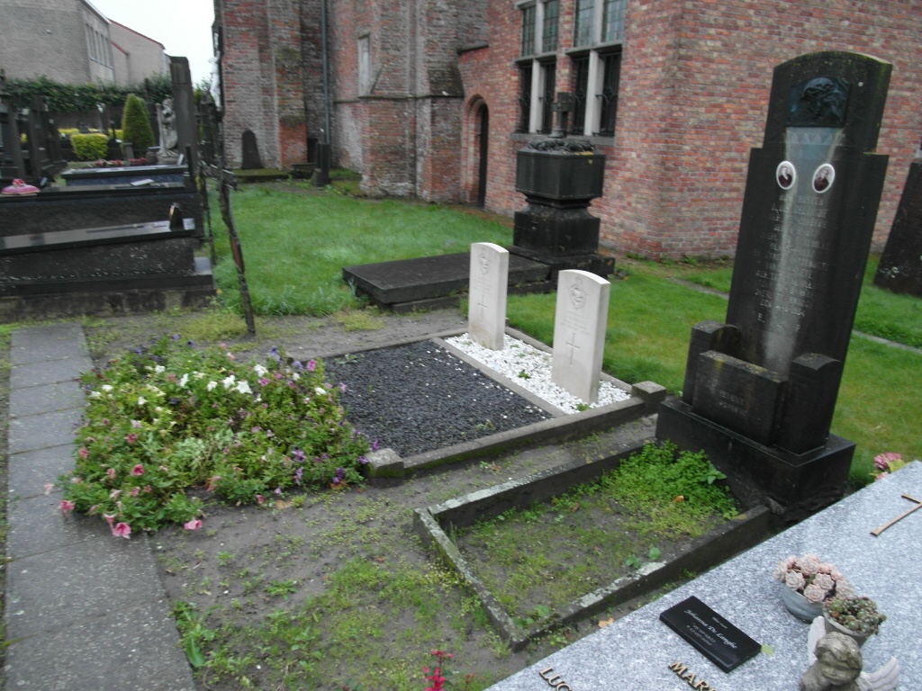
Stalhille Churchyard
- Country Belgium
- Total identified casualties 2 Find these casualties
- Region West-Vlaanderen
- Identified casualties from First World War
- GPS Coordinates Latitude: 51.21458, Longitude: 3.07168
Location information
The village of Stalhille is located west of the town of Brugge (Bruges) off the N9 which runs between Brugge and Oostende. Driving from Brugge follow the N9 through the village of Houtave to the junction with the N377. Turn left here direction Jabbeke. Take the second turning on the right called Spanjaardstraat, go to the end and the turn right. The church entrance is 20 meters from the junction. The graves are located to the front of the church on the right. Take the path up towards the church and then follow it to the right. The war graves are located half way between the church and the churchyard boundary.
History information
Stalhille Churchyard contains two Commonwealth burials of the First World War.