Athies Communal Cemetery Extension
- Country France
- Total identified casualties 312 Find these casualties
- Region Pas de Calais
- Identified casualties from First & Second World War
- GPS Coordinates Latitude: 50.30399, Longitude: 2.83734
Location information
Athies is a village 5 Kms east of Arras. The Cemetery is on the north side of the road from Arras to Fampoux and the Extension is on the north-east side of the Communal Cemetery.
Visiting information
Wheelchair access to this cemetery is possible, but may be by alternative entrance.
For further information regarding wheelchair access, please contact our Enquiries Section on 01628 507200.
History information
Athies was captured by the 9th (Scottish) Division, which included the South African Brigade, on 9 April 1917, and from then it remained in Allied hands.
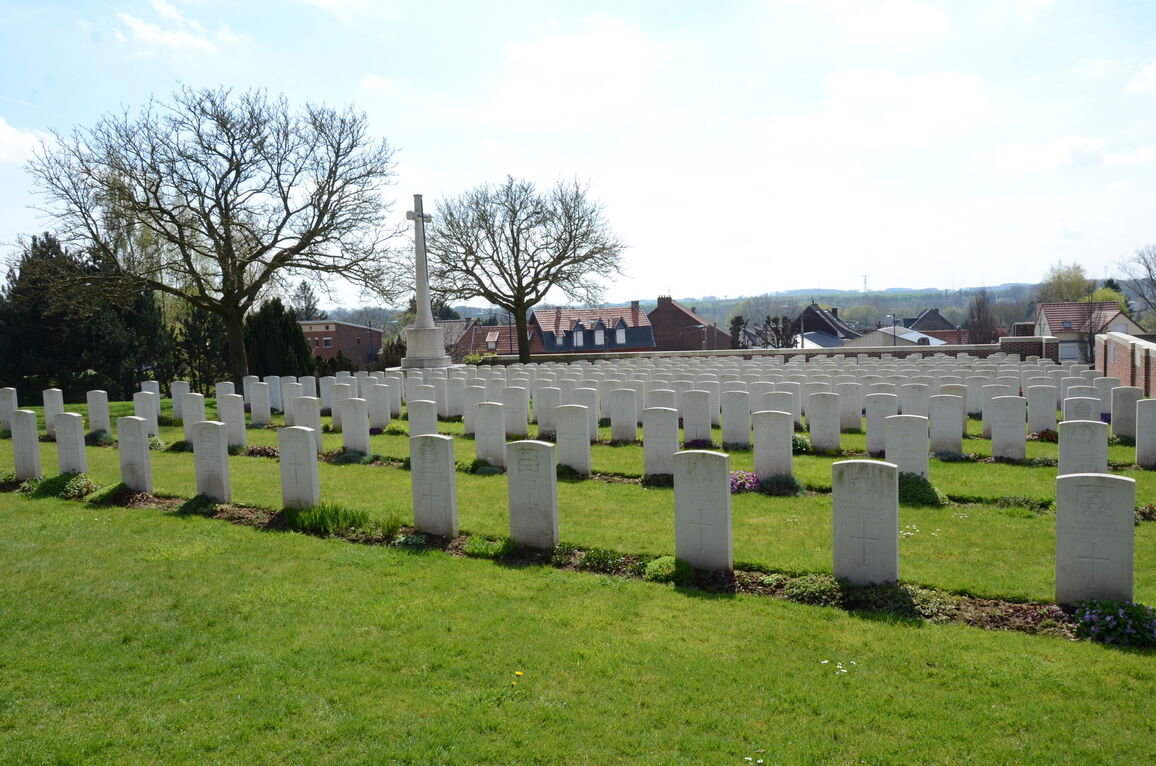
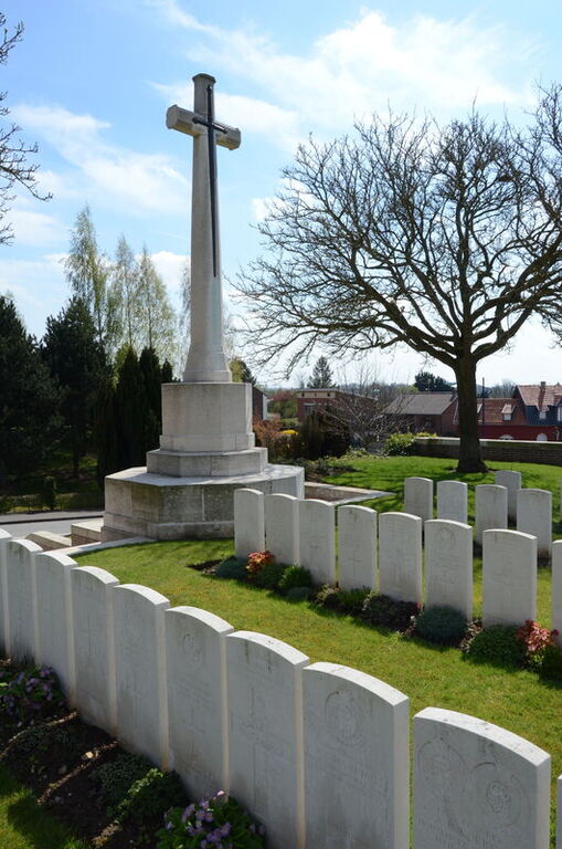
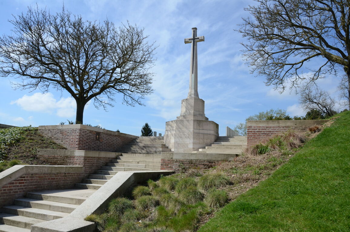
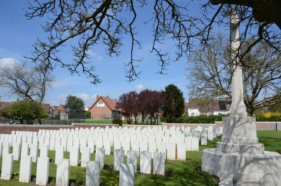
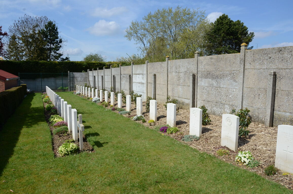
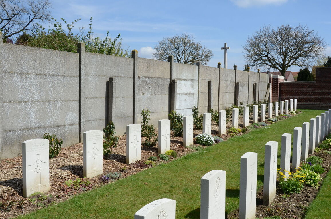
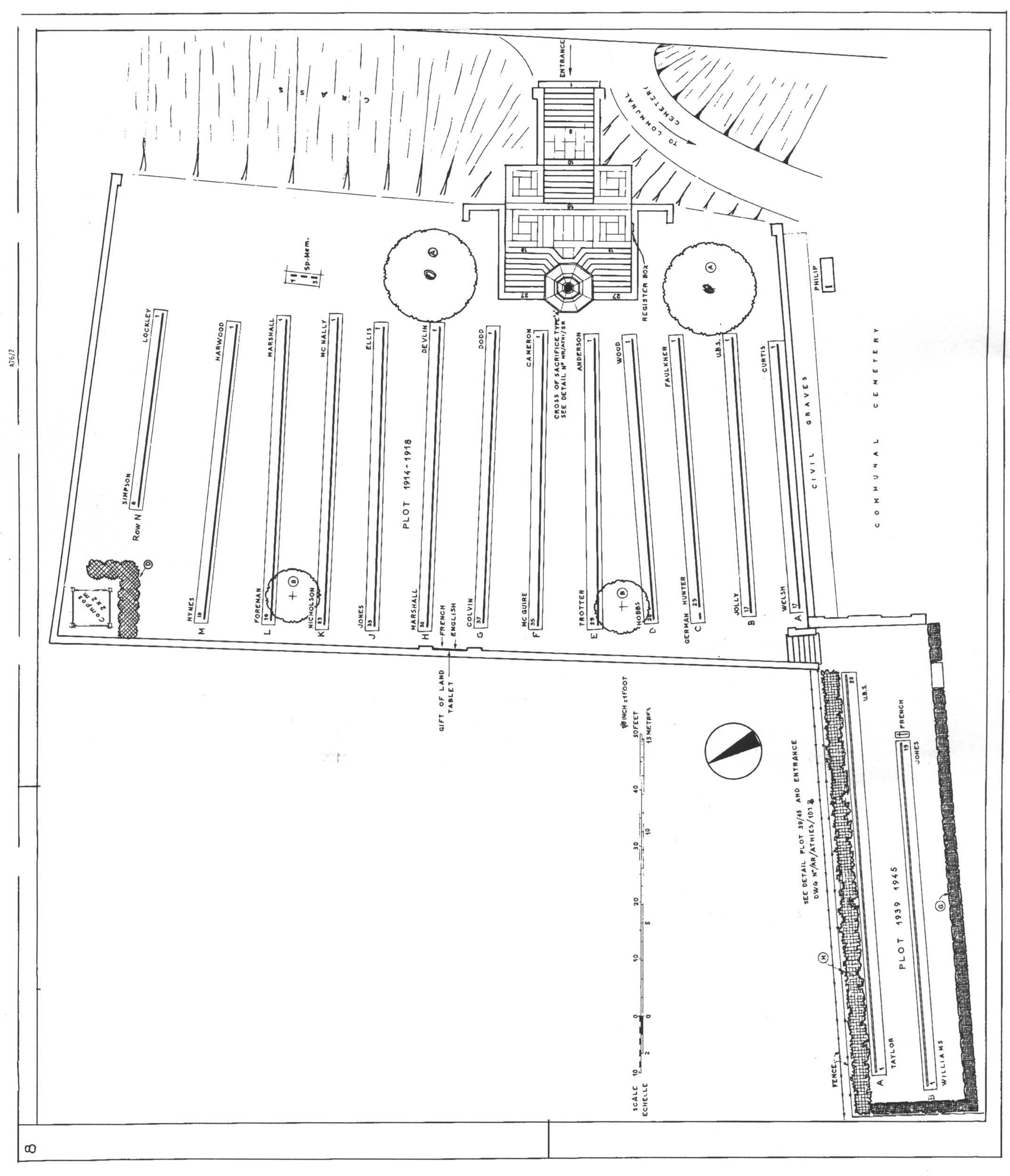
ATHIES COMMUNAL CEMETERY contains one Commonwealth burial of the First World War.
The adjoining COMMUNAL CEMETERY EXTENSION was begun immediately after the capture of the village and used by field ambulances and fighting units until May 1918, and again in September 1918.
The extension contains 312 Commonwealth burials and commemorations of the First World War. 32 of the burials are unidentified but special memorials commemorate three casualties known to be buried among them. The extension also contains 41 Second World War burials, ten of them unidentified, mostly dating from May 1940 and the German advance across northern France.