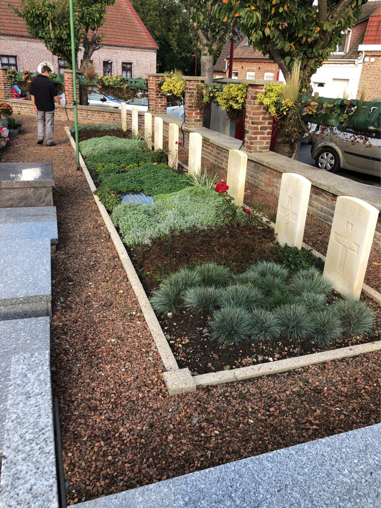
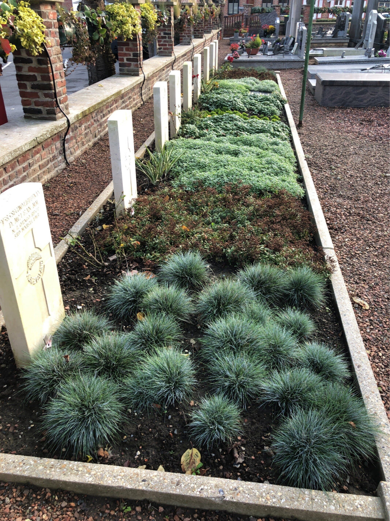
Hondeghem Churchyard
- Country France
- Total identified casualties 9 Find these casualties
- Region Nord
- Identified casualties from First & Second World War
- GPS Coordinates Latitude: 50.75673, Longitude: 2.52123

Location information
Hondeghem is a village in the Nord Department, 4 kilometres north-west of Hazebrouck on the D53. The Churchyard is in the centre of the village, the plot is on East side of Churchyard tight against external wall.