Haverskerque British Cemetery
- Country France
- Total identified casualties 112 Find these casualties
- Region Nord
- Identified casualties from First & Second World War
- GPS Coordinates Latitude: 50.64356, Longitude: 2.55919
Location information
Haverskerque is a village and commune in the north of France on the main D916 road between St Venant and Morbecque, two large villages south of Hazebrouck. From the centre of the village of Haverskerque (on the main road) take the D122 road to Merville. After 1.5 kilometres you enter the hamlet of Le Corbie. Continue for a further 500 metres then turn left onto Rue du Colonel Harrison. The cemetery is at the end of this track on the left hand side.
History information
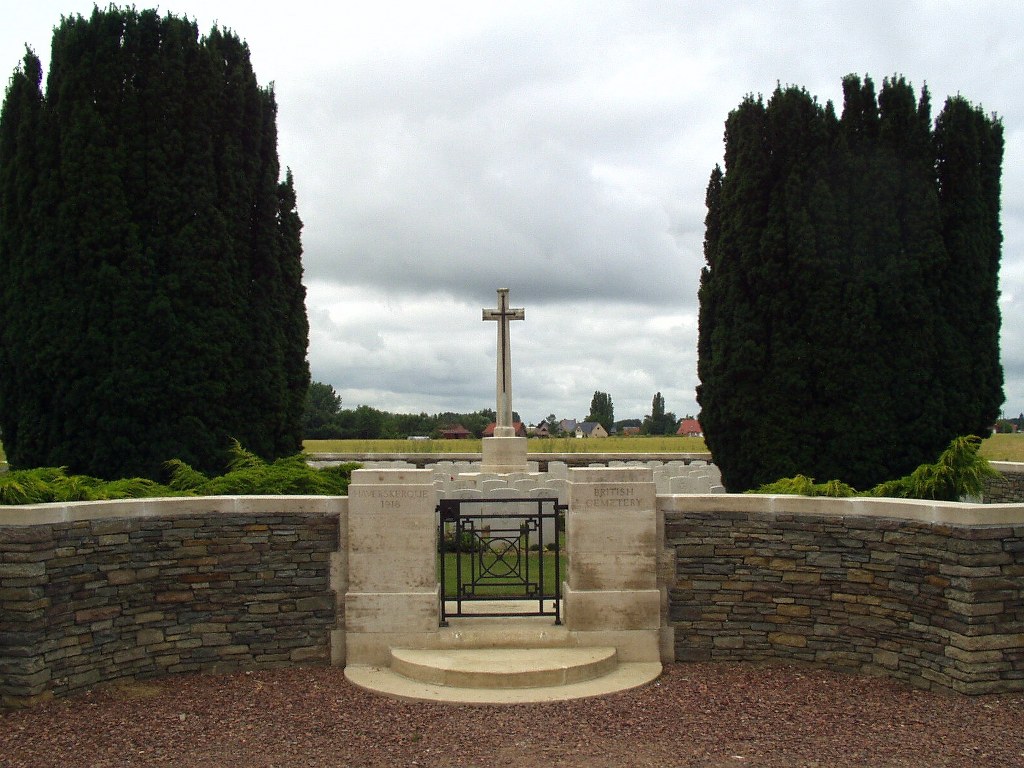
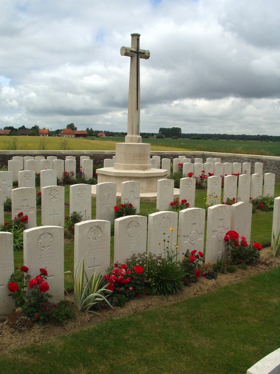
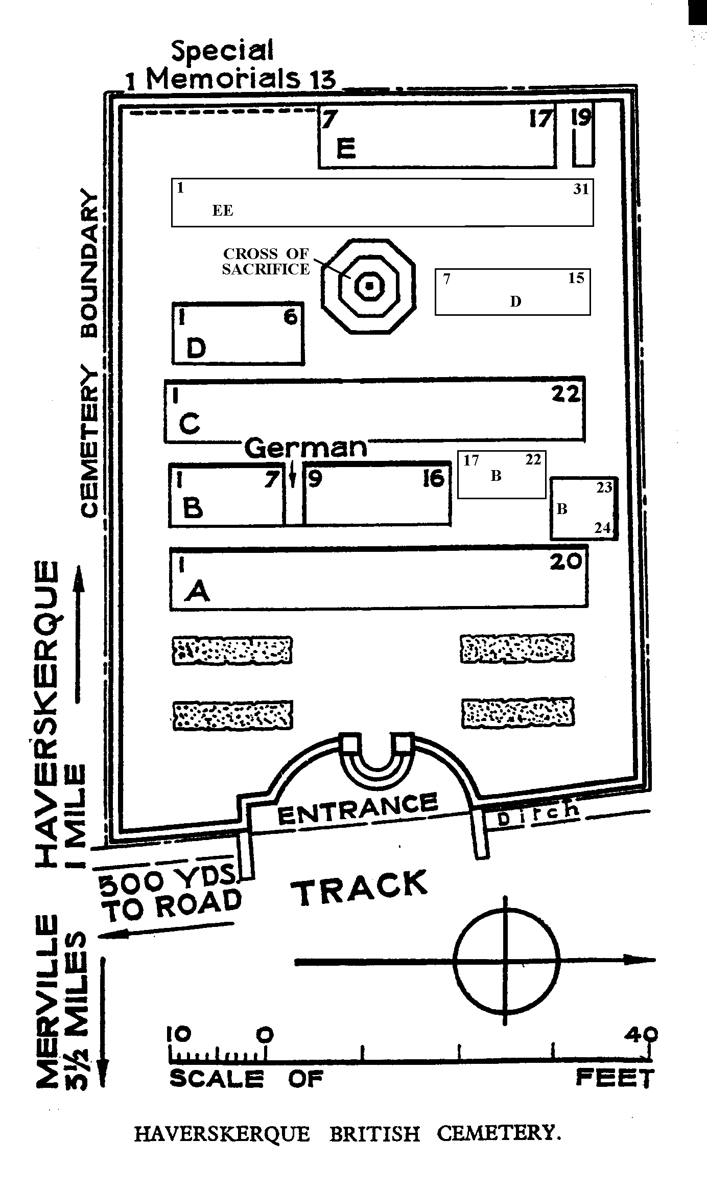
Haverskerque remained in British hands from October 1914, to the end of the War, but from April to August 1918, it was within 5 kilometres of the front line. The Cemetery was begun in March 1918, by the 33rd and 54th Casualty Clearing Stations, and carried on by fighting units during the Battles of the Lys. After the Armistice a small number of graves were brought in from isolated positions, and two Portuguese graves were removed. There are now nearly 100, 1914-18 and 50, 1939-45 war casualties commemorated in this site. Thirteen graves from the 1914-18 War cannot be located, and are represented by special memorials and by five unnamed headstones. From the 1939-45 War, over 20 are unidentified. The Cemetery covers an area of 403 square metres and is enclosed by a stone rubble wall.