Ferme Buterne Military Cemetery, Houplines
- Country France
- Total identified casualties 127 Find these casualties
- Region Nord
- Identified casualties from First World War
- GPS Coordinates Latitude: 50.68478, Longitude: 2.9181
Location information
Ferme Buterne Military Cemetery is in the Nord region of France, near the village of Houplines, two kilometres east of the centre of Armentieres.
Visiting information
ARRIVAL
Ferme Buterne Military Cemetery is off the D945 road, and the plot sits within agricultural land. The D945 road is busy.
PARKING
There is no car park, but there are two lay-by areas on opposite sides of the D945 road approximately fifty metres from the main entrance to the cemetery. Each lay-by has space for approximately three vehicles.
ACCESS, LAYOUT AND MAIN ENTRANCE
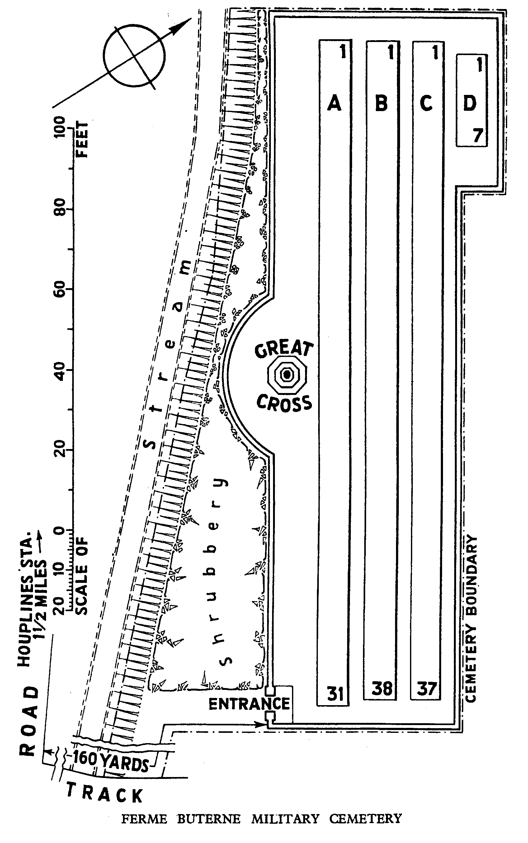
Access to the cemetery is via a sloping tarmac footpath that opens onto a sloping grass path.
There is a barbed wire fence running along the right-hand side of the grass path up to the cemetery entrance and drainage channel on the left-hand side.
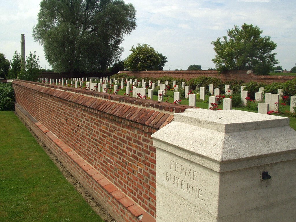
The sloping grass path follows the cemetery boundary wall and leads to the main entrance to the cemetery. There is a Register Box built into the right-side pillar of the main entrance. There is a latched metal gate, approximately 750 mm wide to enter the cemetery.
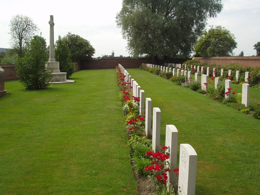
A Cross of Sacrifice stands halfway along the cemetery boundary wall near the centre of the cemetery.
ALTERNATIVE ACCESS
There is no alternative access to the cemetery.
ADDITIONAL INFORMATION
Ferme Buterne Military Cemetery is open permanently.
History information
Houplines was in Allied hands (but near the front line) from 17 October 1914, when it was taken by the 4th Division. It fell into German hands in April 1918 during their great advance, but was recovered in September. The village contained four Commonwealth cemeteries in addition to plots in the communal cemetery, but the graves were regrouped after the war and only two cemeteries remain.
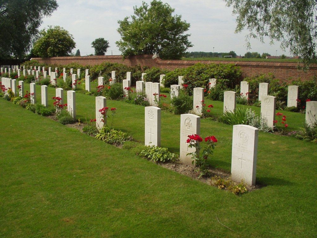
Ferme Buterne Military Cemetery was used from January to October 1915, chiefly by the 6th Division. It contains 129 Commonwealth burials, two of which are unidentified.