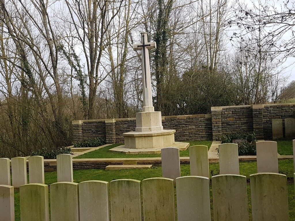
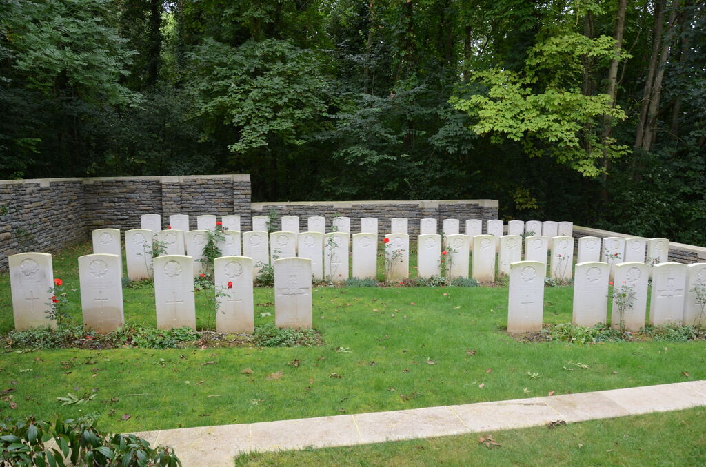
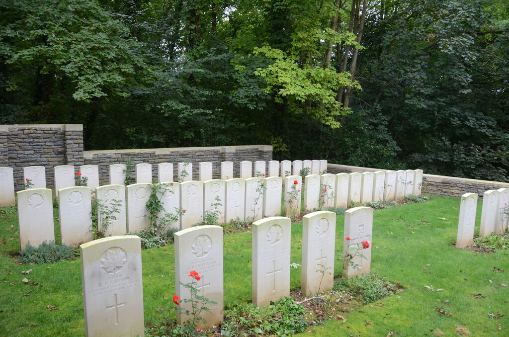
Beaucourt British Cemetery
- Country France
- Total identified casualties 88 Find these casualties
- Region Somme
- Identified casualties from First World War
- GPS Coordinates Latitude: 49.79239, Longitude: 2.59073
Location information
The village of Beaucourt-en-Santerre is about 18 Kms south-east of Amiens and 5 Kms east of Moreuil. From Peronne take the N17 to Roye, then the D934 towards Amiens, about 21 Kms. Turn right onto the D28 at the entrance of Beaucourt-en-Santerre and then turn right. The cemetery is about 300 metres on the right.
Visiting information
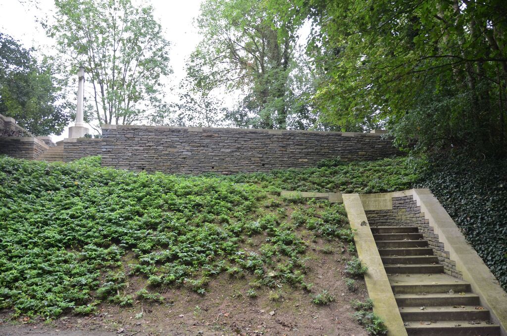
The cemetery is on a hill above a single-track road. Visitors should bear in mind that there is no designated parking in front of the Cemetery entrance, and access to the graves is up two flights of steps. The location or design of this site makes wheelchair access impossible. For further information regarding wheelchair access, please contact our enquiries department on 01628 634221.
History information
Beaucourt was the scene of fighting in March 1918 when the village was captured by the Germans. It was retaken by the 3rd Cavalry Division on the following 8 August. The cemetery (called at one time Beaucourt Church Cemetery) was made by fighting units immediately after the capture of the village in August 1918. Beaucourt British Cemetery contains 87 First World War burials, one of which is unidentified. The cemetery was designed by W H Cowlishaw.