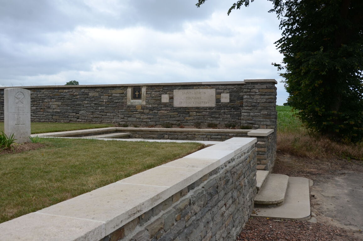
St. Martin Calvaire British Cemetery, St. Martin-Sur-Cojeul
- Country France
- Total identified casualties 226 Find these casualties
- Region Pas de Calais
- Identified casualties from First World War
- GPS Coordinates Latitude: 50.22889, Longitude: 2.84717
Location information
St. Martin-sur-Cojeul is a village about 8 kilometres south-south-east of Arras on the road from Henin to Heninel, just west of the motorway to Lille. The Cemetery is to the south of the village.
Visiting information
The location or design of this cemetery makes wheelchair access impossible. For further information regarding wheelchair access, please contact our Enquiries Section on 01628 507200.
History information
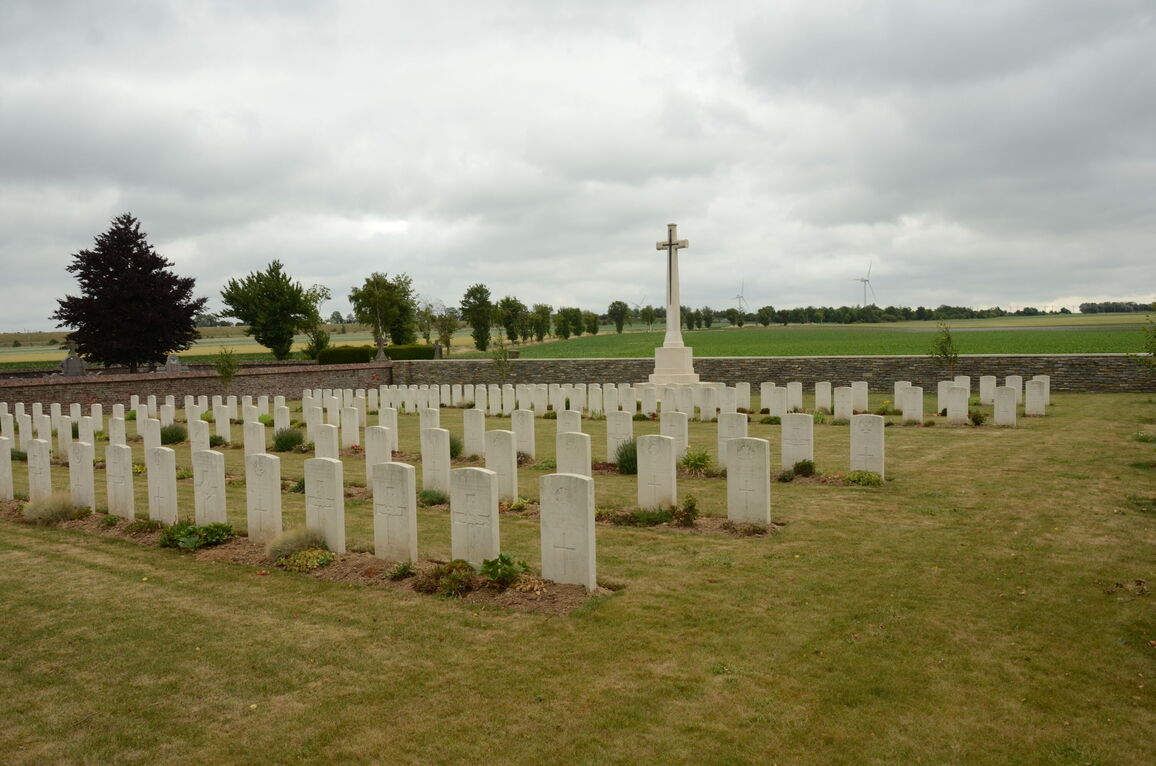
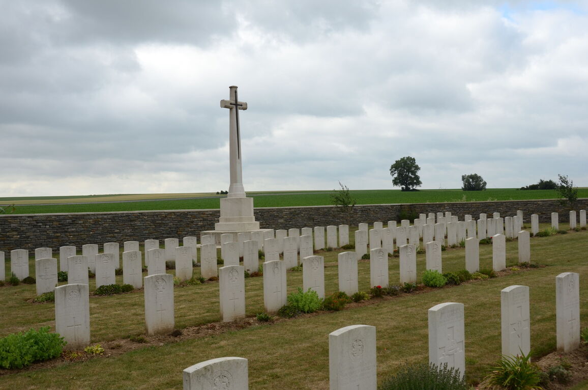
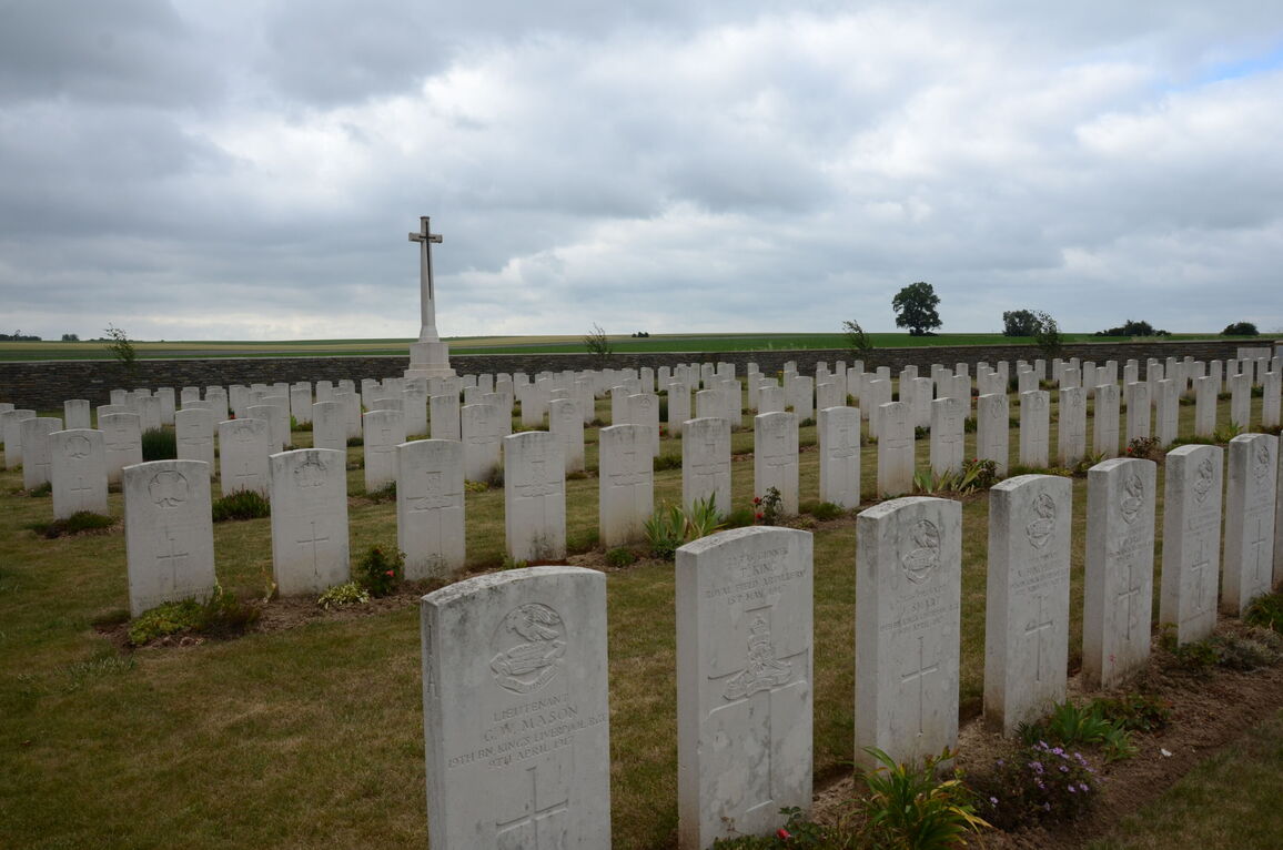
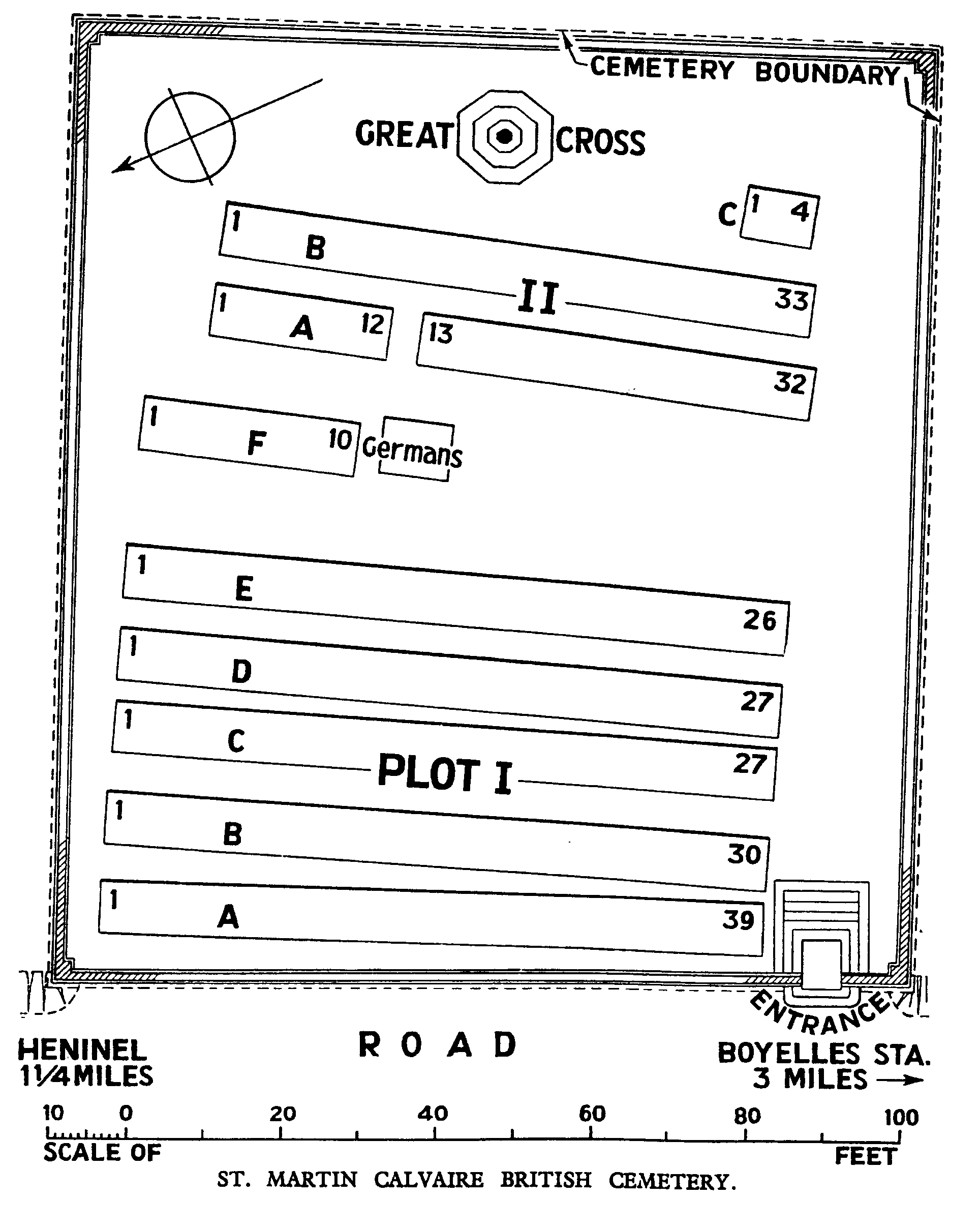
The village of St. Martin-sur-Cojeul was taken by the 30th Division on 9 April 1917. It was lost in March 1918 but retaken in the following August. St. Martin Calvaire British Cemetery was named from a calvary which was destroyed during the war. It was begun by units of the 30th Division in April 1917 and used until March 1918. Plot II was made in August and September 1918. The cemetery contains 228 Commonwealth burials of the First World War, five of them unidentified. There are also three German graves within the cemetery. The cemetery was designed by Sir Edwin Lutyens.