Villers-Guislain Communal Cemetery
- Country France
- Total identified casualties 44 Find these casualties
- Region Nord
- Identified casualties from First World War
- GPS Coordinates Latitude: 50.04469, Longitude: 3.1513
Location information
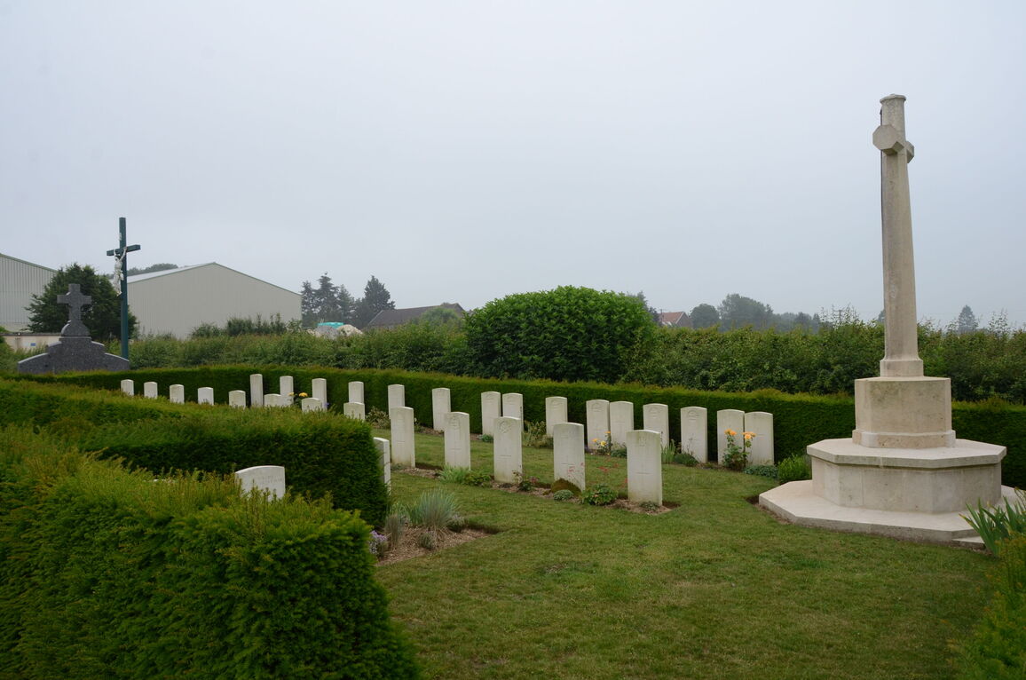
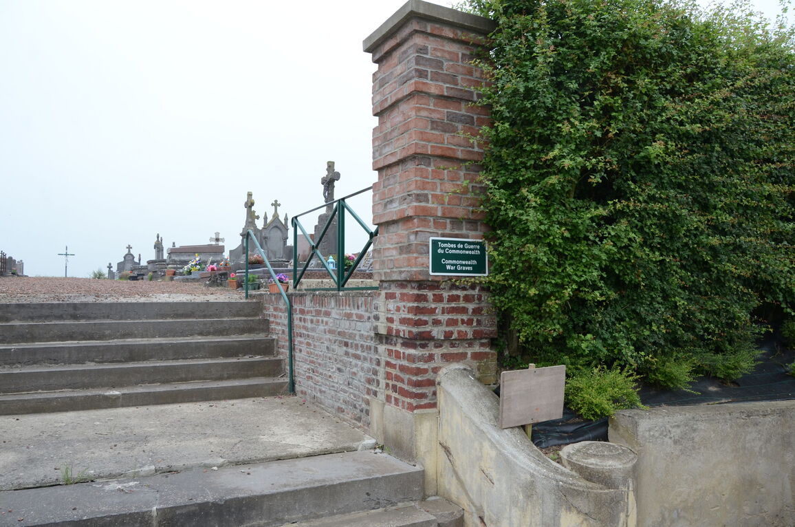
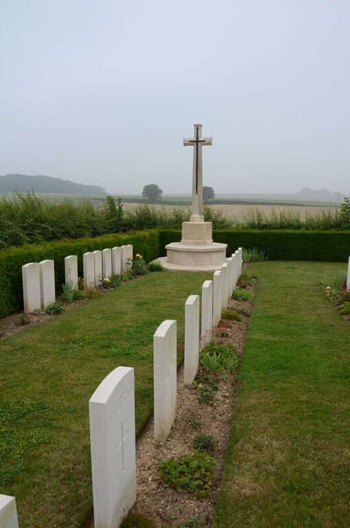
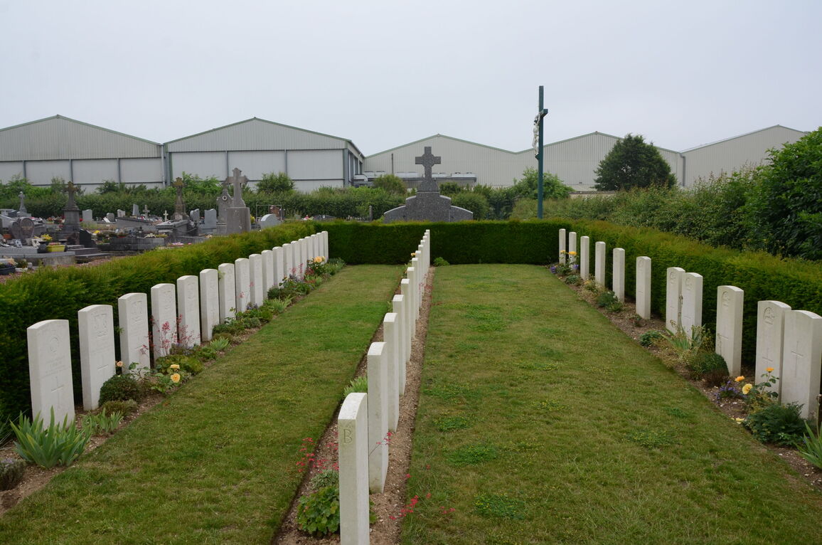
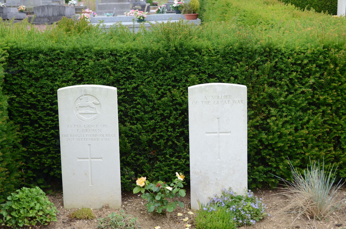
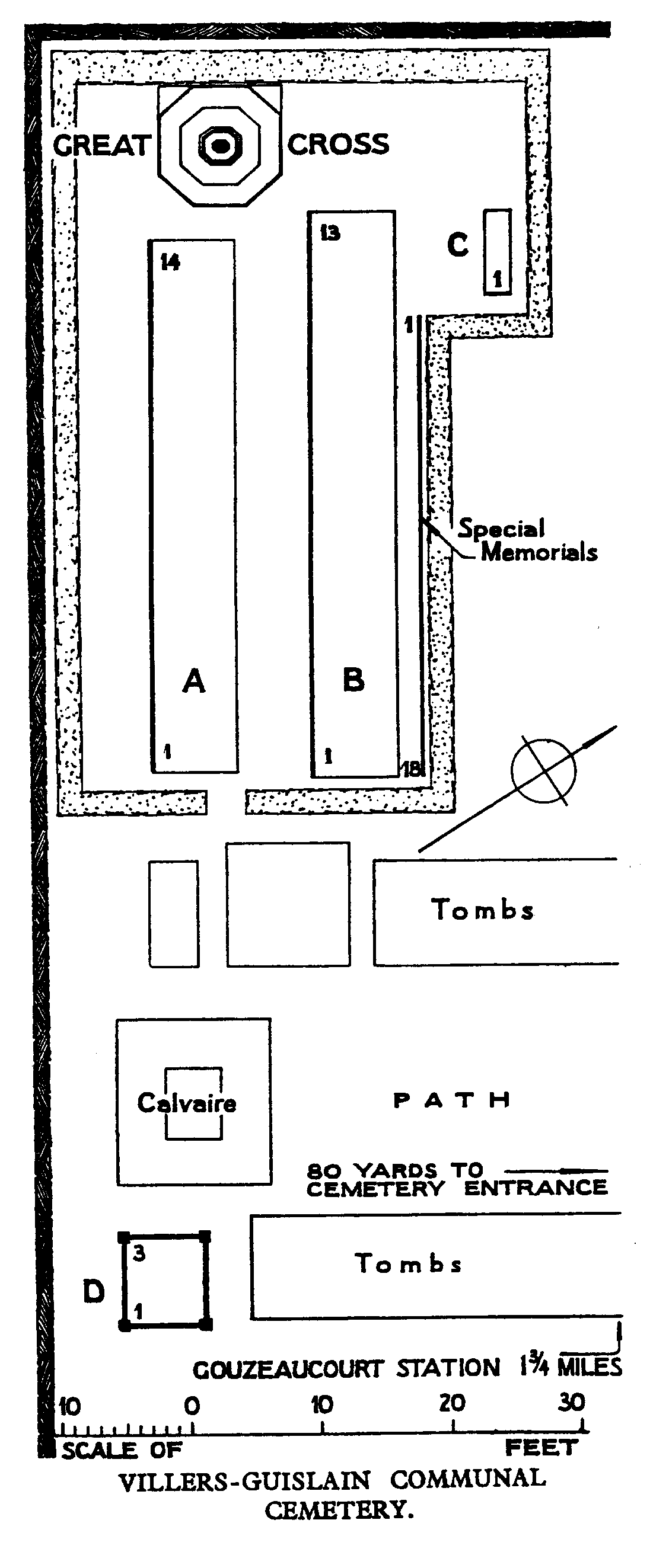
Villers-Guislain is a village in the Department of the Nord, over 1.5 kilometres south of the main road from Cambrai to Peronne. The British graves are in the south-west part of the cemetery.
Download Cemetery Plan
History information
Villers-Guislain was severly damaged by shell fire during the War.
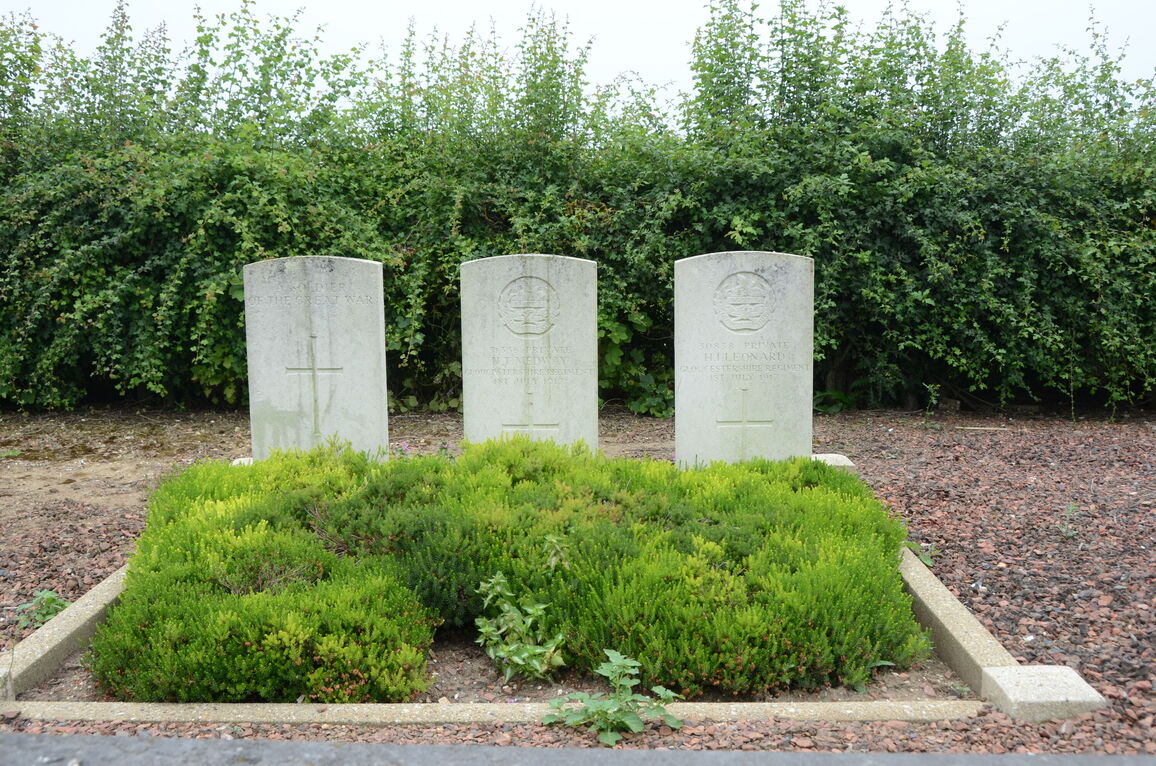
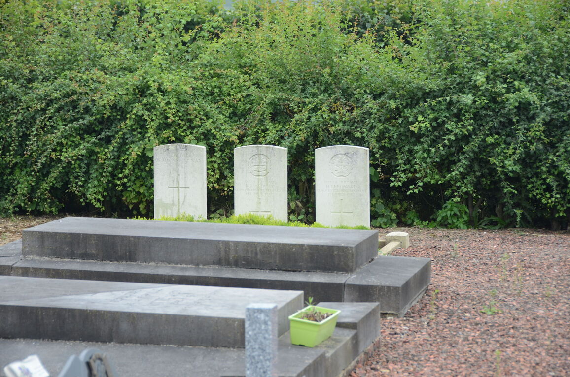
There are now over 50, 1914-18 war casualties commemorated in this site. Of these, a small number are unidentified and eighteen graves, destroyed by shell fire, are now represented by Special Memorials.
The plots cover an area of 202 square metres.