Dreux Communal Cemetery
- Country France
- Total identified casualties 72 Find these casualties
- Region Eure-et-Loir
- Identified casualties from First & Second World War
- GPS Coordinates Latitude: 48.74218, Longitude: 1.36451

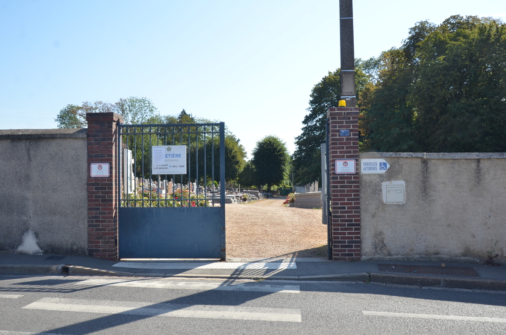
Location information
Dreux is a town and sub-Prefecture in the Department of the Eure et Loire about 35 kilometres north of Chartres. The Communal Cemetery is on the north-western side of the town on the eastern side of Rue de Billy. Follow the sign for 'Chapelle Royale' and the cemetery will be found close by.
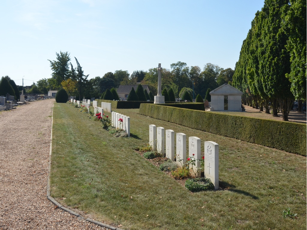
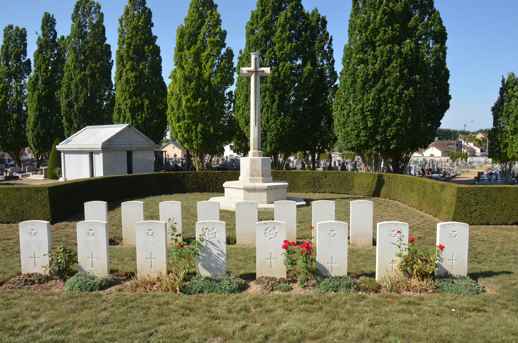
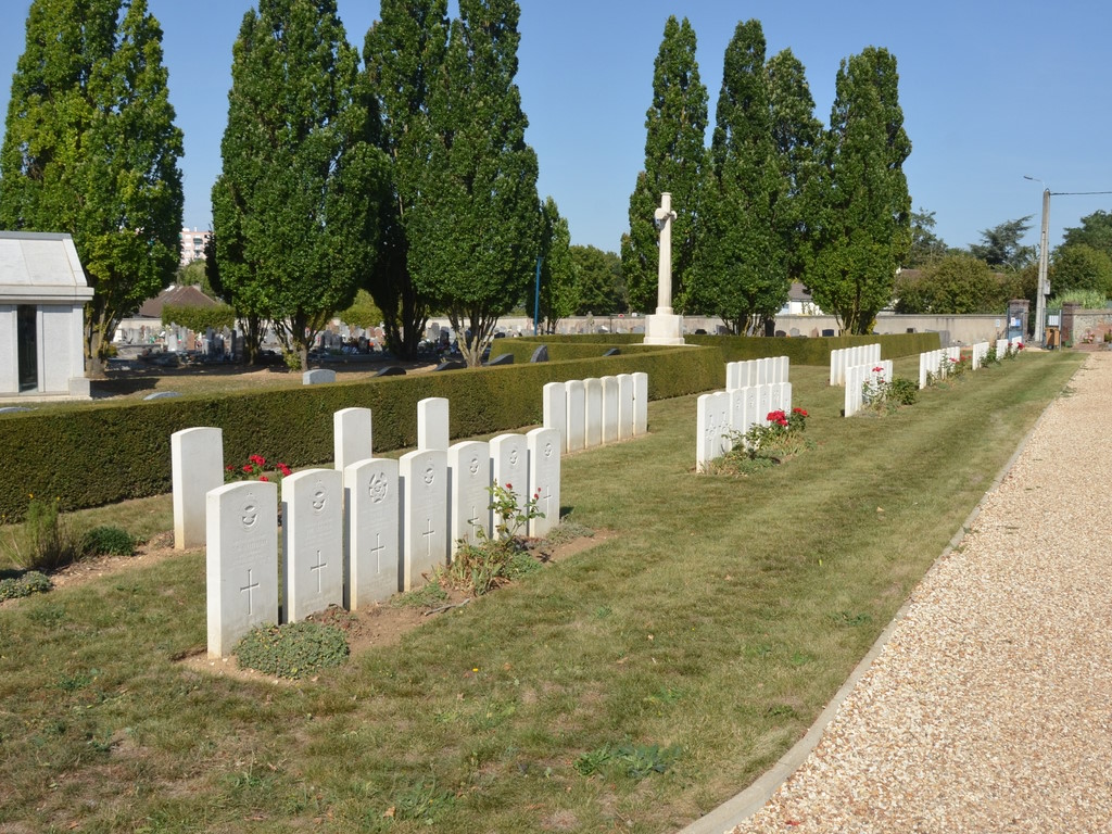
History information
There are now a small number of 1914-18 and over 70, 1939-45 war casualties commemorated in this site.